Search
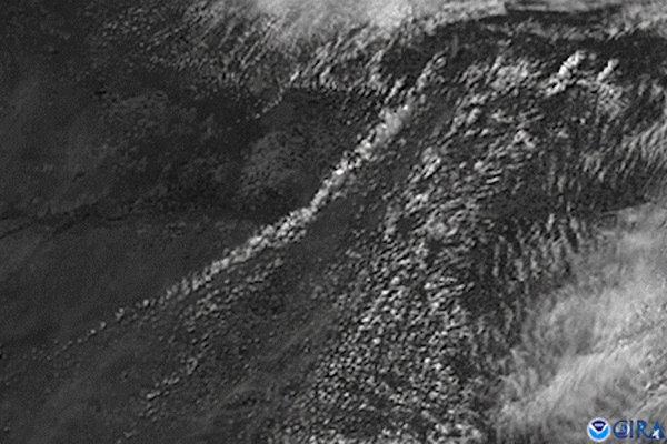
News
GOES East captured imagery of a derecho that tore through the north-central Plains on July 19, 2017.
News

Gulf Coast thunderstorms bubble up above a blanket of clouds in this GOES East view from April 5, 2019.
News

The Geostationary Lightning Mapper (GLM) instrument, onboard NOAA’s GOES-18 satellite, is now providing striking lightning…
News

From the evening of May 3 into the early morning of May 4, 2020, the GOES-East satellite used a combination of its visible…
News

The GOES-R series satellites will provide continuous weather monitoring. The new generation GOES-R satellites will carry…
News
GOES East satellite’s visible channel watched the anvil-shaped cloud tops of severe thunderstorms bubble up over western…
News

Strong to severe storms were captured moving across the Mississippi and Ohio River valleys via satellite imagery.
Page
NOAA plans to include a lightning mapper as part of the GeoXO system.
News

If you have a smartphone, you’ve likely received a severe weather alert warning of an impending flash flooding event, a…
News

GOES East captured this image of the severe thunderstorms that struck the Northeastern U.S. on May 15, 2018. The storms…
News

NOAA’s Tim Schmit has been nominated for a ‘Sammies’ award and you can note NOW for him HERE! The Samuel J. Heyman Service…
News

Tropical moisture is producing heavy rain across the Gulf Coast and lower Mississippi and Tennessee Valleys.
News

GOES East captured this image of the powerful spring storm system that will deliver a wide mix of weather impacts across the…
News
July 21, 2020 On July 19, 2020, NOAA’s GOES-East satellite viewed clusters of supercell thunderstorms sliding across eastern…
News

The high-resolution offered by GOES-16's Advanced Baseline Imager will allow forecasters to see meteorological…