
Our world is constantly changing, and our satellites help us learn more about its dynamic environment.
This section is arranged so that you can browse among images and animations from NOAA's geostationary and polar satellites, and invites you to see your home planet in new ways.
Collections
This series of short videos showcases a compelling weather event, environmental hazard, or interesting meteorological phenomenon each week, as seen by NOAA satellites.
Watch new videos each week Earth from Orbit
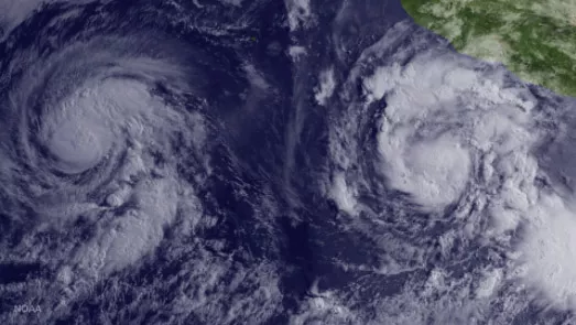
Most recent satellite images of significant weather and environmental events around the world from NOAA and our international partners.
See the newest imagery Image of the Day

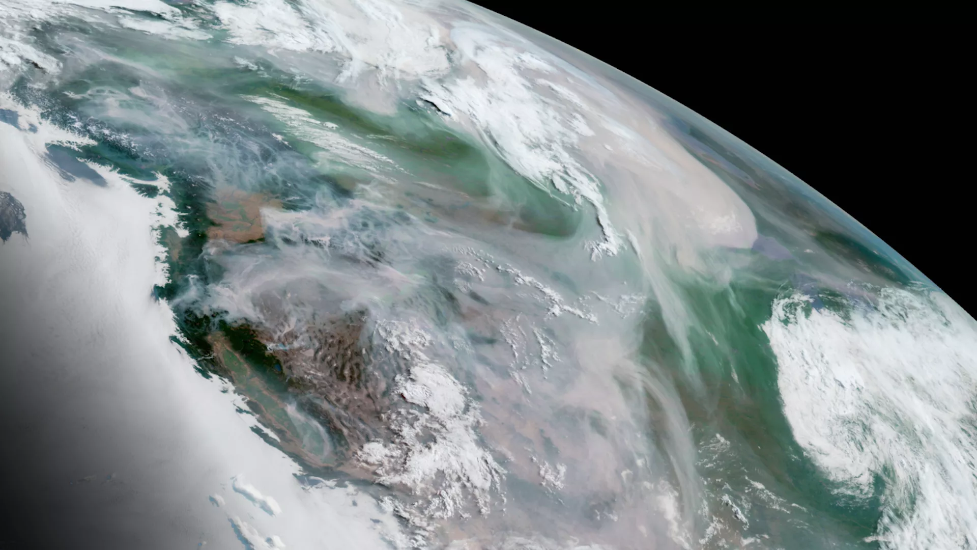
NOAA’s satellites document amazing views of our planet every day. This showcases our most beautiful imagery—from unique landscapes to colorful data visualizations.
Enjoy the view Beautiful Places
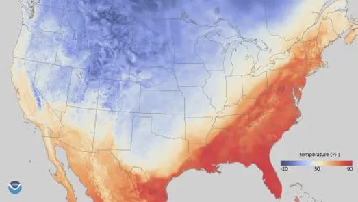
NOAA satellites provide highly detailed data about Earth, and our specialists translate them into a visual format that is easier for us to understand.
See how data becomes a map Data Visualization

NOAA satellites capture imagery from major events on land and in the atmosphere.
Revisit significant events through imagery Historical Events