Search
News

Contrails, or "condensation trails"—the line-shaped clouds often seen behind aircraft—can increase the amount of…
News

Advanced Technology Microwave Sounder instruments help forecasters monitor and predict drought-related weather patterns like…

News
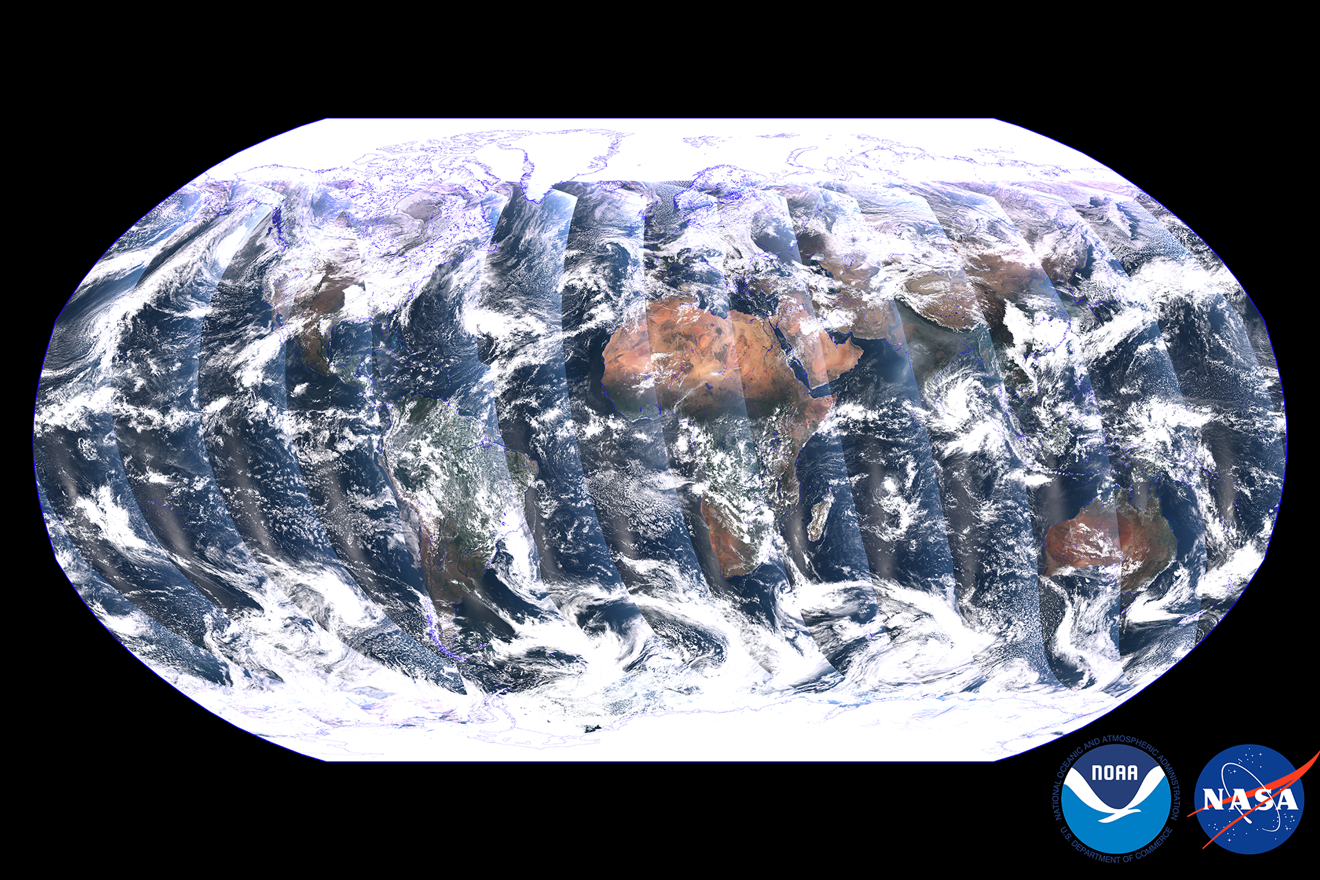
The Visible Infrared Imaging Radiometer Suite (VIIRS) instrument on NOAA-21 began collecting Earth science data on December…
News
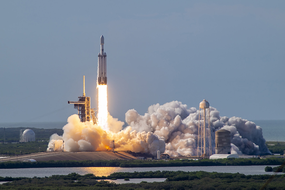
On July 7, 2024, NOAA's GOES-U satellite reached geostationary orbit above Earth's equator and was renamed GOES-19…
Page
Satellite data, applications, and other environmental information impact nearly every aspect of our lives–from the food we…
News

The stunning, colorful imagery you see from GOES-16 and GOES-17 isn’t just beautiful to look at, it also provides critical…
Page
NOAA’s satellites monitor the Earth’s environment in real-time every day, capturing storms, floods, fires, lightning, and…
News

Taking a step back and viewing the Earth from above not only can spark awe, it also can inspire change. Case in point—in…
Page
Screenshot from SOSxMobile App. This app allows you different layers that tell you about elements and environments all over…
Event
Dec 13 2021
December 13, 21 - December 17, 21 | 07:15 PM - 20:15 PM
Are you an academic researcher or a natural resources manager attending AGU 2021?
News

Covering 70 percent of the earth surface, the ocean plays a critical role in shaping our weather patterns and climate, as…
News

The current marine heat wave is raising new concerns about the potential impact on the fragile coral reefs beneath the ocean…
Page

NOAA’s Joint Polar Satellite System (JPSS) provides global observations that serve as the backbone of both short- and long-…
News
GOES satellites are known for providing critical data to weather forecasters, but the information they collect can also help…