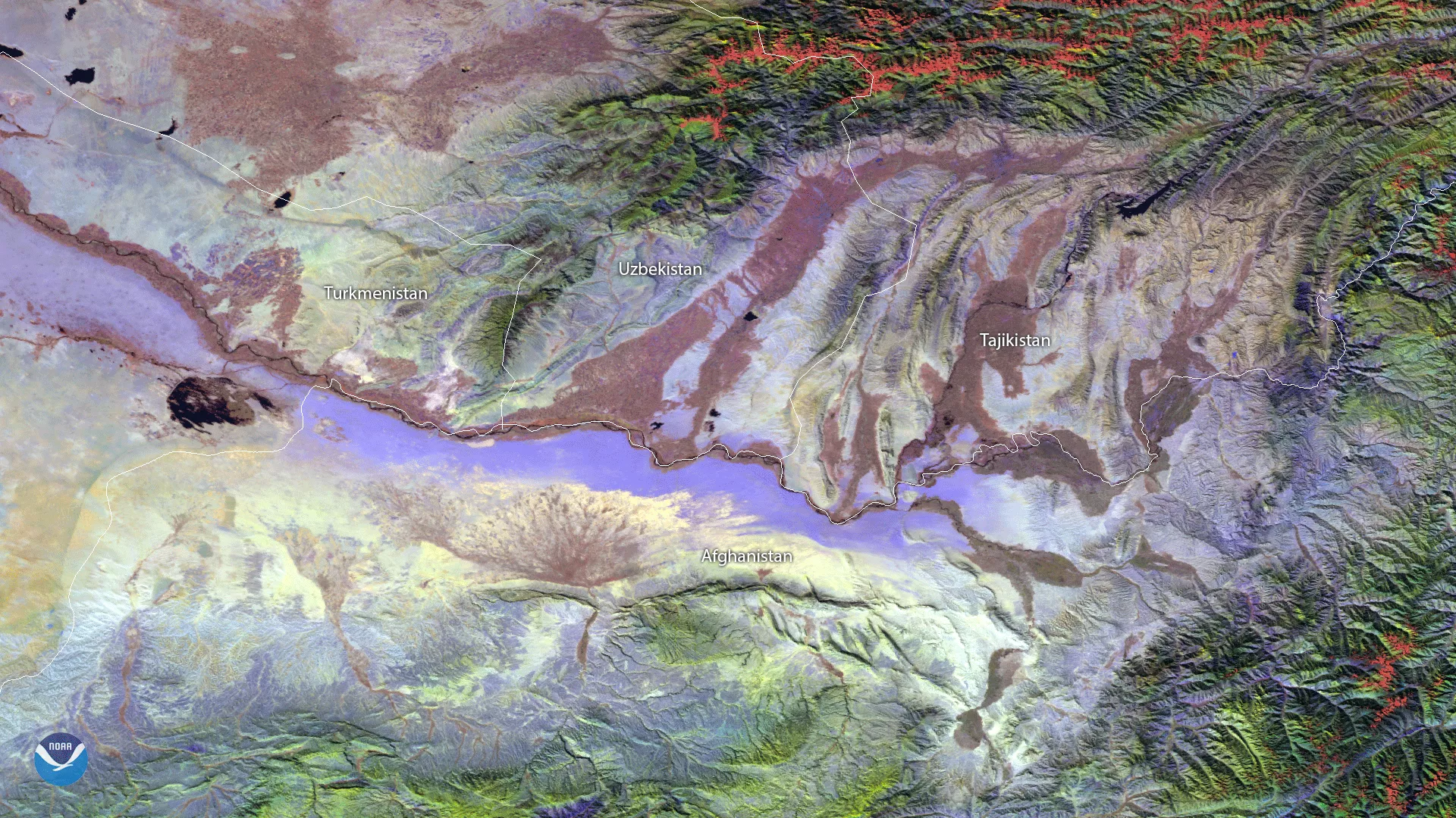
A cloud-free day reveals some of the dynamic geography in a relatively remote area of the world along the borders of Afghanistan, Tajikistan, Uzbekistan and Turkmenistan. Using the VIIRS SVI 2, 3, and 4 channels from the Suomi NPP Satellite on October 26, 2017, this RGB false-color image shows visible and thermal differences in the desert, high altitude and riverbed areas in the region.