
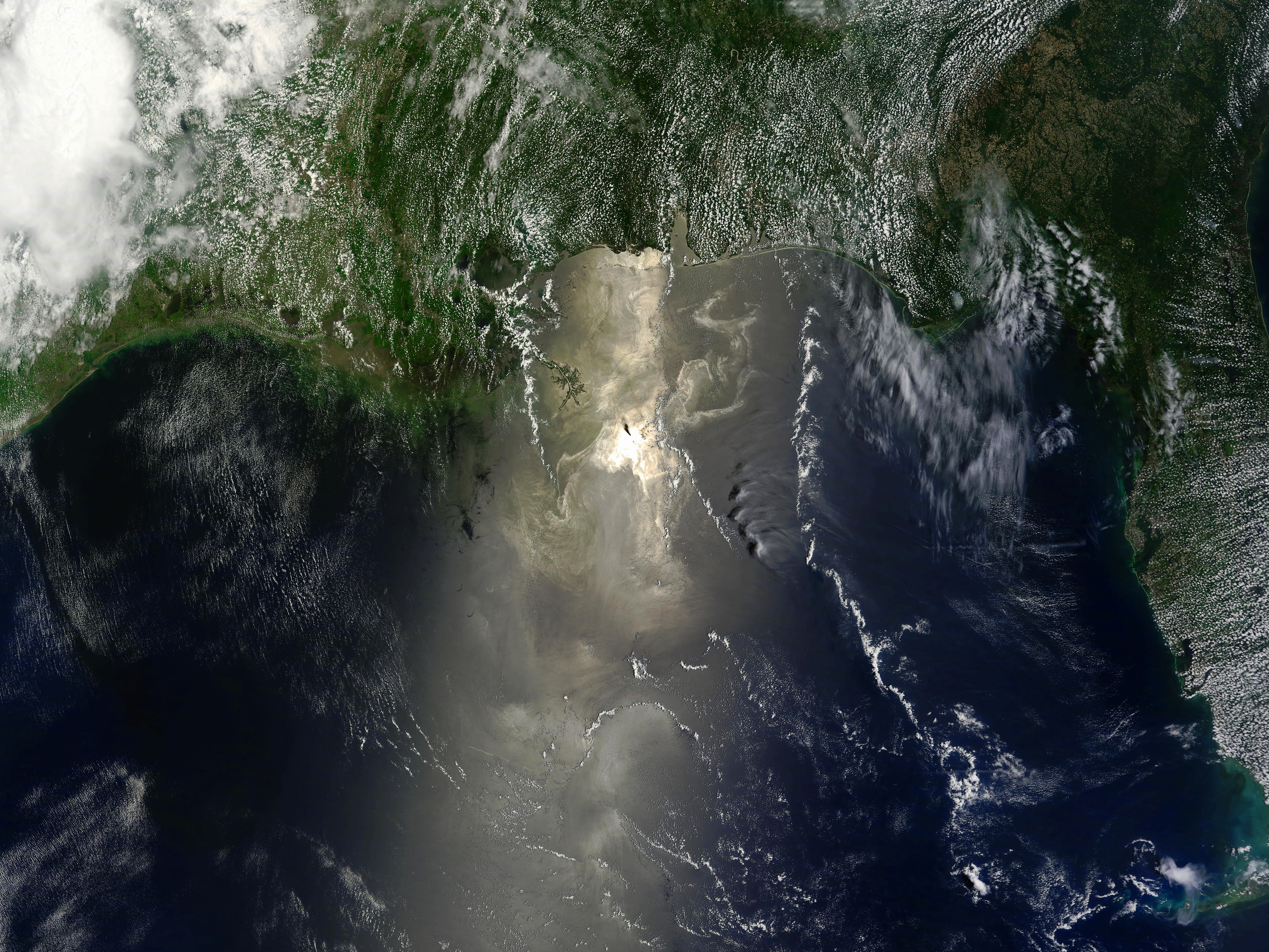
The MODIS sensor on NASA's Terra satellite passed over the Gulf of Mexico at the right time relative to the sun's position, capturing an excellent sunglint image of the region. Oil can be seen as a shimmering area reflecting the light back into space more vividly than the normal reflectance of water. Keep in mind, however, that other natural features of the Gulf, such as plankton blooms, may also create such a reflectance. Multiple satellite passes are required for accurate assessments of the surface oil extents, as are performed by the NOAA Satellite Analysis Branch. The image is at full resolution, showing detail at 250 meters per pixel.