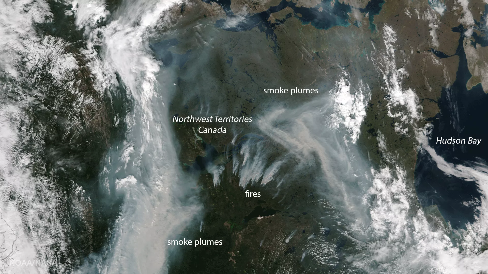
Fires burning south of Great Slave Lake in the Northwest Territories in Canada are seen here in this true-color image captured by the Visible Infrared Imaging Radiometer Suite (VIIRS) aboard the NOAA/NASA Suomi NPP satellite on August 12, 2017. Several Public Weather Alerts for the region have been issued for the Yellowknife Region north of Great Slave Lake.