The American Meteorological Society (AMS) Committee on Satellite Meteorology, Oceanography, and Climatology (SatMOC) is pleased to offer a short course titled “Monitoring the El Niño – Southern Oscillation and its Impacts on the Weather'' during June – July 2024. This short course will consist of four 3-hour virtual training sessions described below. The training sessions are scheduled for 1:00 PM to 4:00 PM ET on June 18, 25, 27, and July 16. This series of four training sessions will demonstrate the use of environmental satellite data to monitor the El Niño – Southern Oscillation (ENSO) cycle and three weather impacts commonly associated with the ENSO cycle: flooding, drought, and severe weather.
These training sessions will provide hands-on experience for selecting and applying environmental satellite data products for monitoring ENSO and assessing several weather impacts associated with ENSO. Certificates of completion will be issued to students who participate in a minimum of 3 training sessions and the participation in each session must exceed one hour. The short course is primarily designed for undergraduate and graduate college students but others who are changing careers or moving to a position requiring increased environmental satellite knowledge will benefit from the course.
Sponsored by the AMS Committee on Satellite Meteorology, Oceanography, and Climatology
Session Description
“Atmospheric Rivers” of moisture, what satellite meteorologists as far back as the 1990s referred to as moisture plumes, would never have been recognized without both low earth orbiting (LEO) microwave-sensor and geostationary satellites. These “atmospheric rivers of moisture are clearly visible at least somewhere on the earth every day and can result in extremely, sometimes catastrophic heavy precipitation any time of the year and during any ENSO cycle if the right instability and lift are available to wring out that moisture. Satellites also provide a global source of observed flood extents that are valuable for flood monitoring.
In this workshop we will demonstrate processing water fraction maps from NOAA’s Visible Infrared Imaging Radiometer Suite (VIIRS) satellite that can be correlated with global hydrologic data to forecast flood maps as synthetic satellite images. We will highlight the capabilities of the GEOGLOWS global hydrologic model historical simulation and forecast for retrieving streamflow data. Finally, we will demonstrate combining the observed VIIRS water fractions and GEOGLOWS streamflow data using Forecasting Inundation Extents using REOF analysis (FIER) to generate forecasted inundation extents.
Sheldon Kusselson, Research Associate
CIRA/Colorado State University

Sheldon Kusselson worked for 36 years as an operational satellite meteorologist for NOAA’s National Environmental Satellite, Data, and Information Service (NESDIS). Specializing in the geostationary (GEO) and low earth orbiting (LEO) satellite analysis of precipitation, he interacted with NOAA National Weather Service (NWS) weather and atmospheric river forecasters. Since 2018, he has worked as a research associate for the Cooperative Institute for Research in the Atmosphere (CIRA)/Colorado State University from his home in Maryland and collaborates with his colleagues on the revising of current and the development of new satellite moisture products and applications for forecasters. In addition, Sheldon continues to mentor young meteorologists in how to remain relevant with the inclusion of satellite data/imagery and how to apply that information to make improved high impact weather forecasts in the ever-changing world of atmospheric sciences.
Contact Information
Phone: 301-384-1252
Email: sheldon.kusselson@gmail.com
Dr. Jim Nelson, Professor of Civil and Construction Engineering
Brigham Young University, Provo, UT

Dr. Nelson has been a pioneer in developing geospatial hydrologic modeling and hydroinformatics tools and is the principal developer of the Watershed Modeling System (WMS) which since the 1990’s has been widely disseminated and used for development of hydrologic models and visualization of results. In recent years he and his colleagues at BYU developed Tethys Platform, free and open-source tools that lower the barrier for engineers to create web-applications for hydroinformatics. Tethys has been a foundational element of the GEOGLOWS ECMWF Global Streamflow Services which provide a 40-year historical simulation and 15-day forecast on every river of the world daily.
Contact Information
Email: jimn@byu.edu
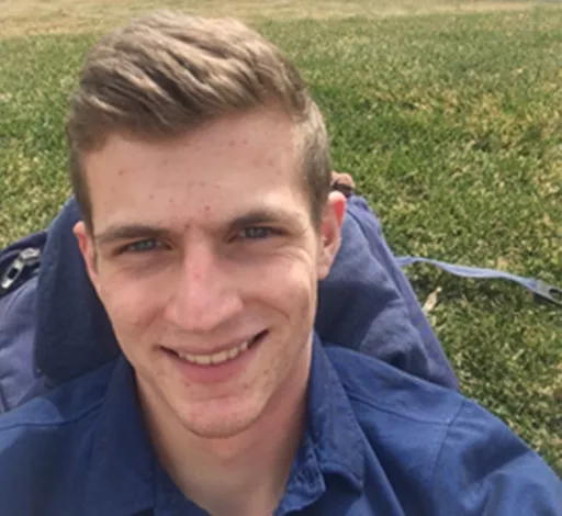
Lyle Prince, master’s student of Civil & Construction Engineering
Brigham Young University, Provo, Utah

Lyle Prince’s research includes development of case studies using the FIER method and integration of these models with GEOGLOWS and the National Water Model.
Contact Information
Email: ldp48@student.byu.edu
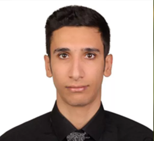
Amirhossein Rostami, Ph.D. research assistant in Civil and Environmental Engineering
University of Houston, Texas

Amirhossein Rostami has worked on designing and developing reliable and efficient flood early warning systems using remotely sensed data and artificial intelligence methods. Recently, he and his colleagues at the University of Houston developed Flood Inundation Extent using REOF analysis (FIER), a flood forecasting tool that relies on historical inundation reflected in satellite images and its relationship with hydrological variables. FIER has been successfully tested over the Mekong River and, just recently, over some regions in the U.S. FIER is going to be expanded over the whole U.S. using National Water Model (NWM) forecasts and global inundation forecasting, leveraging the GEOGLOWS ECMWF Global Streamflow Services, which provide 15-day forecasts on every river in the world daily.
Contact Information
Email: arostami@cougarnet.uh.edu