

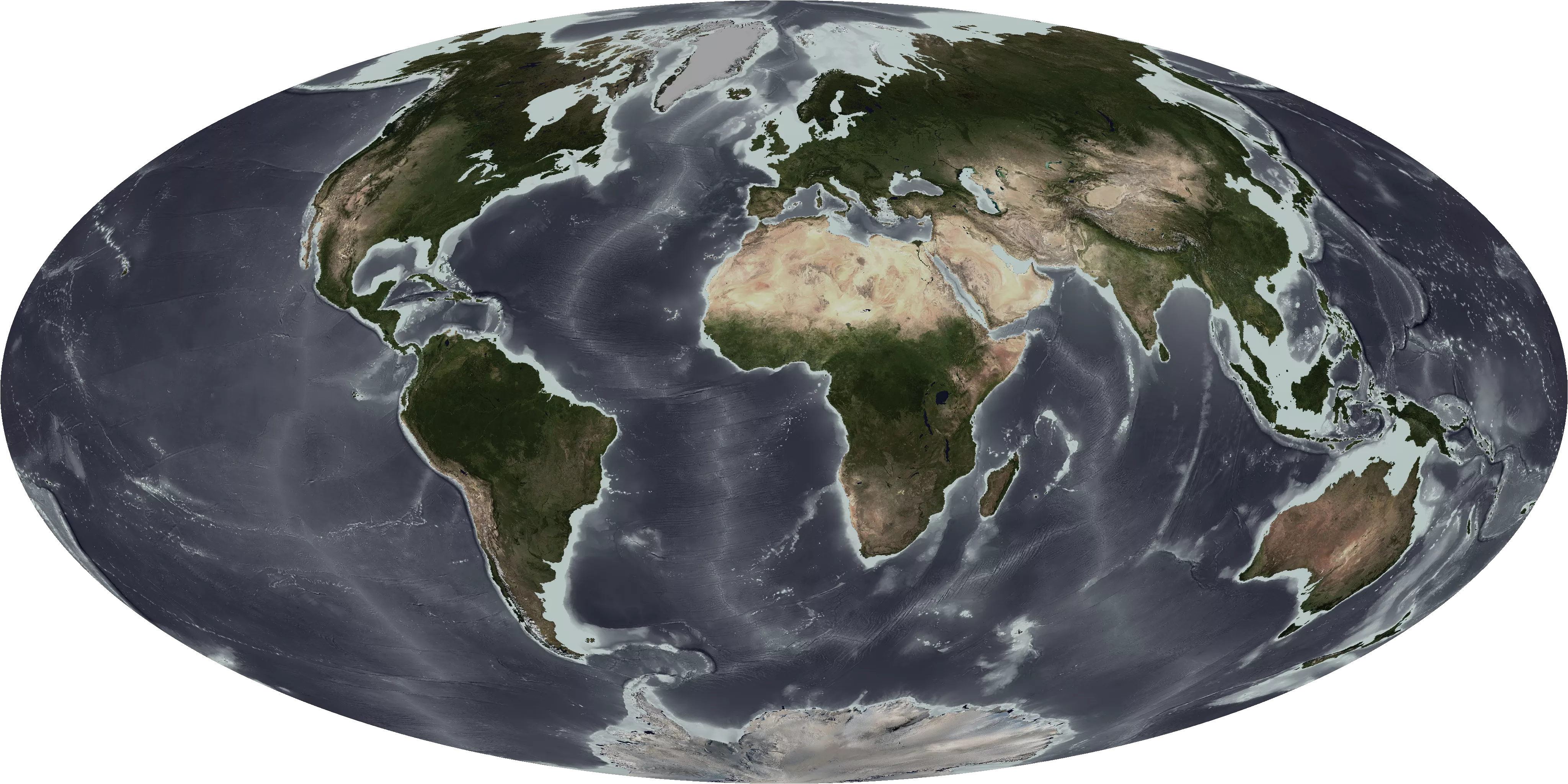
The ocean floor is largely unexplored - ship based measurements, such as sonar, have mapped a small percentage of the open ocean. However, we can infer the shape of the ocean floor by measuring small differences in sea surface height over many years using satellites, such as the Jason series. These measurements, called ocean altimetry, are combined with ship-based measurements to create highly accurate maps of the world’s coastal areas and ocean depths.