

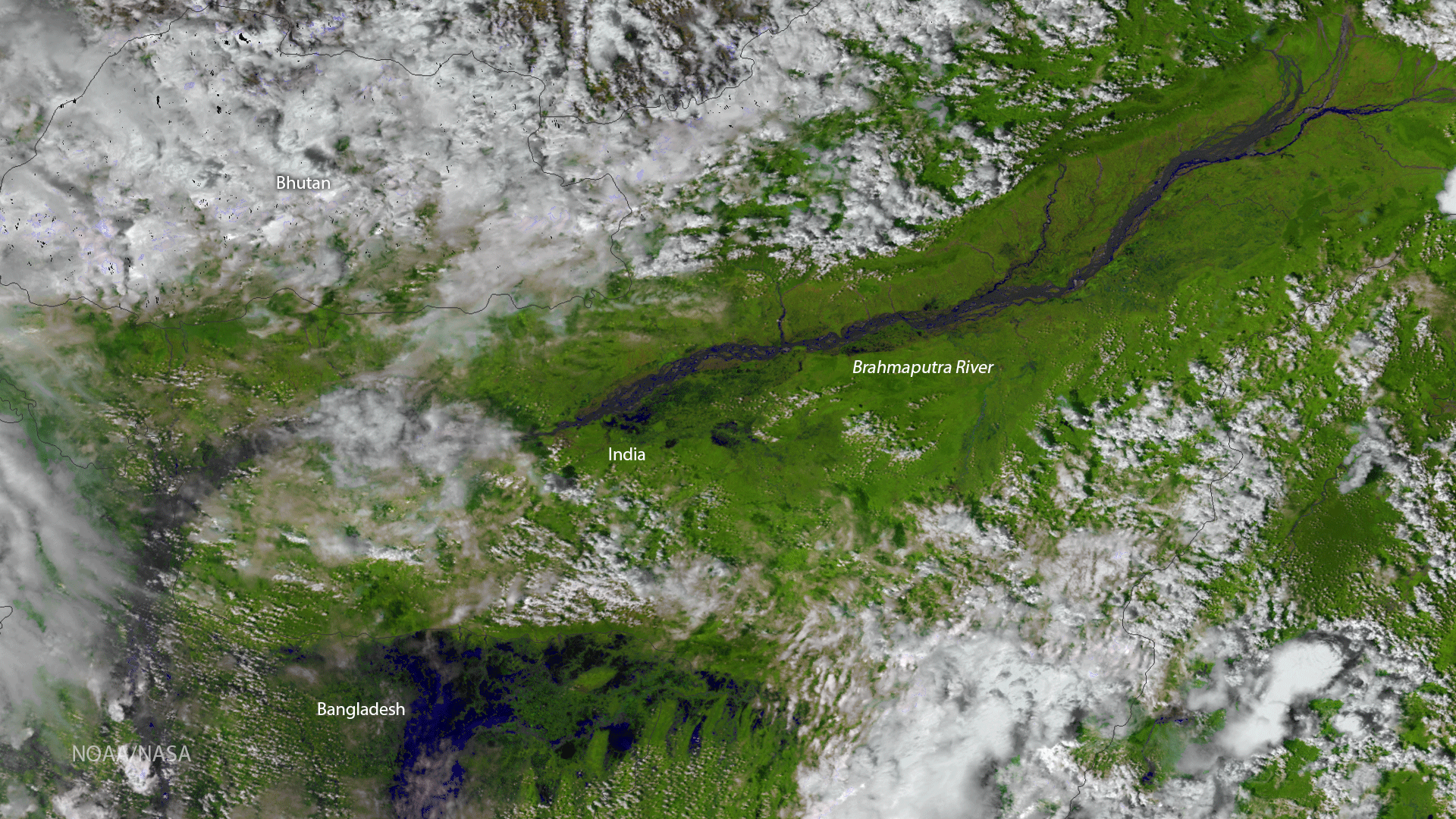
The Visible Infrared Imaging Radiometer Suite (VIIRS) instrument aboard the NOAA/NASA Suomi NPP satellite captured this color-enhanced RGB (or red, green, blue) image showing swollen river banks and flooded wetlands in northern Bangladesh on August 26, 2017. The flooding is the result of intense monsoon rains in South Asia. The severe flooding has caused the deaths of at least 1,200 people this summer and aid agencies say immense parts of the region remain inundated as rain continues to fall. Three of the VIIRS instrument’s 22 channels -- SVI3, SVI2 and SVI1 -- were combined to create this false color image. This channel combination is useful for determining variations in land surface type and areas impacted by natural phenomena, such as wildfires and, as shown here, flooding.