
Search
Showing 9 - 16 of 56 results
Educational Resource

Hurricanes, tornadoes, heat waves, and severe snowfalls happen more often than ever. We rely on spacecraft orbiting Earth to…
News
Tuesday, February 4, 2020Photo courtesy of the Sterling, Va., NWS Forecast OfficeTen years ago this week, the Eastern U.S.…
News

GOES West is watching an early-season snowstorm that is moving into the Plains and Midwest from the Rocky Mountains, which…
News

On the eastern coast of North America on Dec. 18, 2019, the GOES-16 satellite showed a long cold front that stretched from…
News
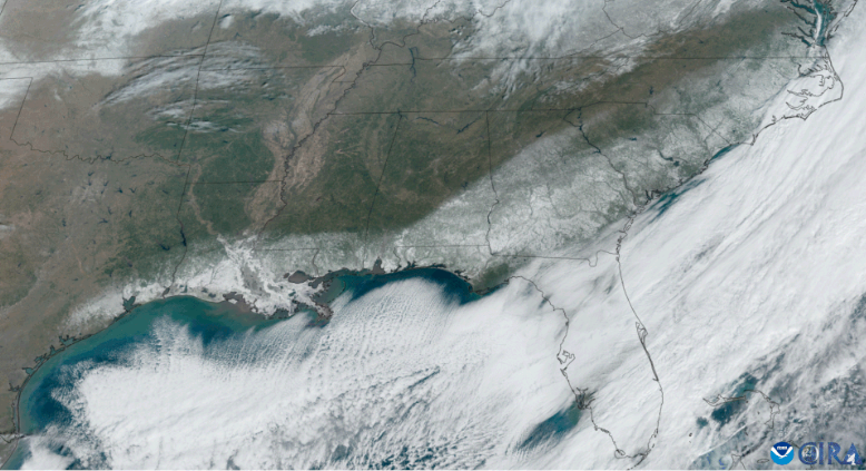
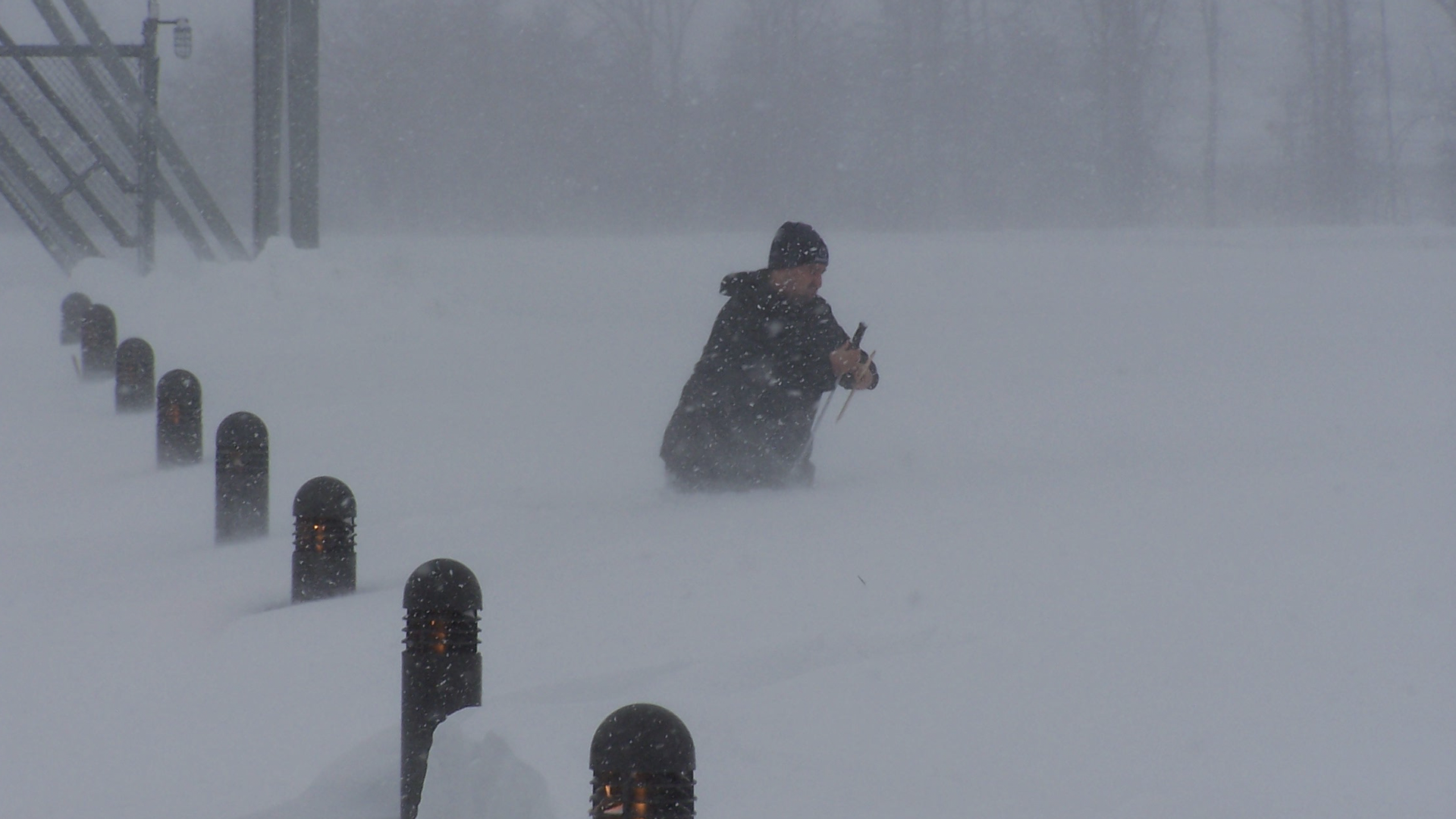
A rare winter storm highlighted both the impacts extreme weather can have on our lives and the vital role NOAA satellites…
News

he Suomi NPP satellite's VIIRS instrument captured this week's nor'easter moving away from the U.S. East…
News
The new year has gotten off to a cold and snowy start with a polar vortex affecting much of the United States along with the…
News

NOAA's GOES East satellite captured this geocolor enhanced image of an early season winter storm moving through the…