Search
Showing 1 - 8 of 56 results
News

On Jan. 15, NOAA-20 viewed a low pressure system that has been bringing snowfall into British Columbia, Canada since Jan. 10…
News

December 11, 2017 NOAA/NASA's Suomi NPP satellite captured this image of an unusual early-season snow that fell across…
News

GOES East captured heavy snow cover over the Mid-Atlantic region on Dec. 11, 2018.
News

On Jan. 11, 2021, Europe’s Meteosat-11 satellite captured imagery of the aftermath of…
News

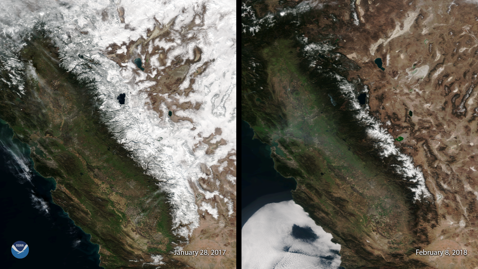
February 08, 2018 This image, captured by the Suomi NPP satellite's VIIRS instrument compares current snow cover in the…
News

Satellite imagery shows a late-season snowstorm that dropped record-breaking amounts of snowfall in Cheyenne, Wyoming and…
News

Predicting snowfall amounts is part of NOAA’s mission, and so is measuring the amount of snow already on the ground. Snow…
Educational Resource

Earth-observing satellites like the Joint Polar Satellite System (JPSS) help scientists measure snowfall in remote areas…
