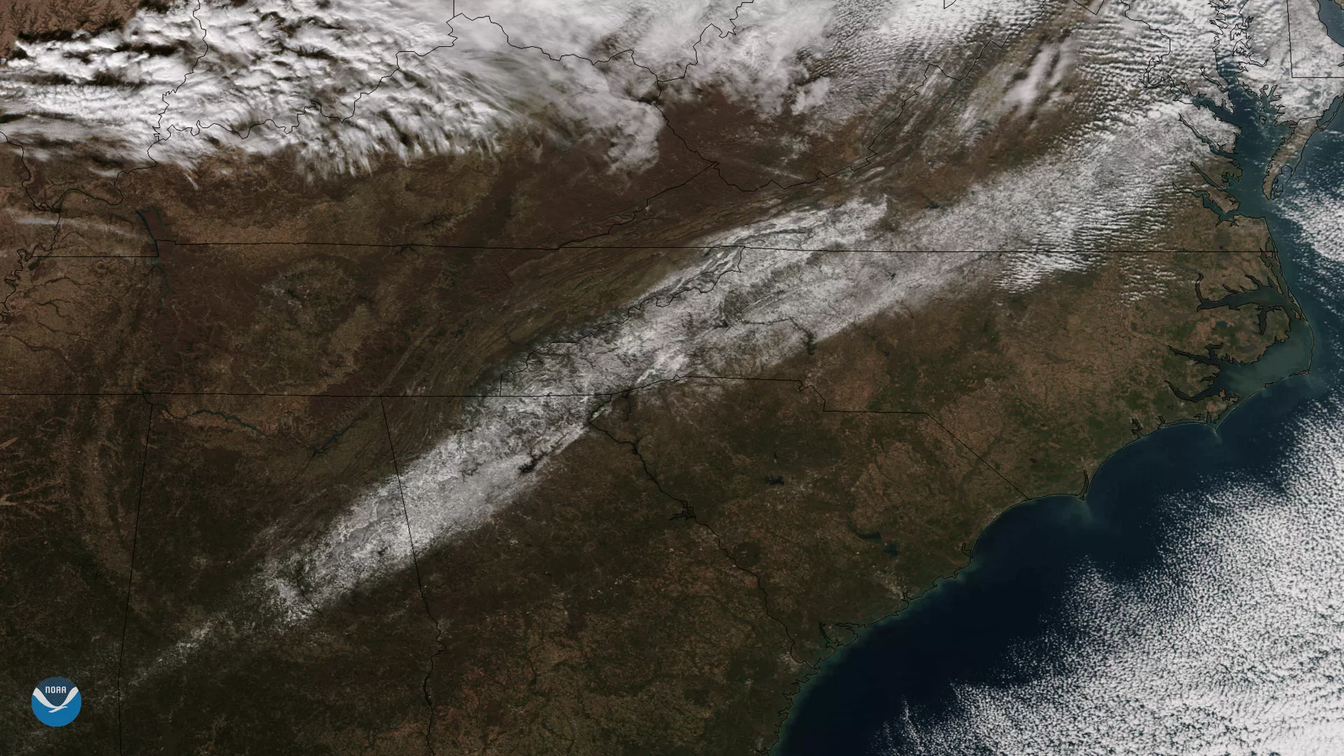
NOAA/NASA's Suomi NPP satellite captured this image of an unusual early-season snow that fell across the South on December 9, 2017. A winter storm over the eastern United States delivered arctic air and record-setting snowfall in some areas, with measurable snow occurring as far south as Brownsville, Texas. This image shows areas with snow on the ground in the wake of the storm, mainly in the highlands of Alabama, Georgia and North Carolina and into central Virginia. Neighboring brown areas saw either rain or no precipitation, while the more textured white patterns along the top edge of the image are clouds associated with the passing storm system.
True-color images like this one are created by combining data from VIIRS's color channels sensitive to the red, green and blue (or RGB) wavelengths of light. In addition, data from several other channels are often also included to cancel out areas of atmospheric interference, such as clouds and aerosols, that can cause a blurry picture.
