
Search
Showing 241 - 248 of 607 results
News

Thursday, December 24, 2020 Earlier this month, a young weather fan’s mother contacted our offices at NOAA’s Center for…
News

Every morning NOAA’s GOES-16 Satellite takes in an amazing view of Earth.
News

2019r was a busy one for NESDIS. We wanted to take some time to look back at our accomplishments...
News

NOAA's and Japan Aerospace Exploration Agency (JAXA) signed a memorandum of understanding on Global Observing Satellite…
News
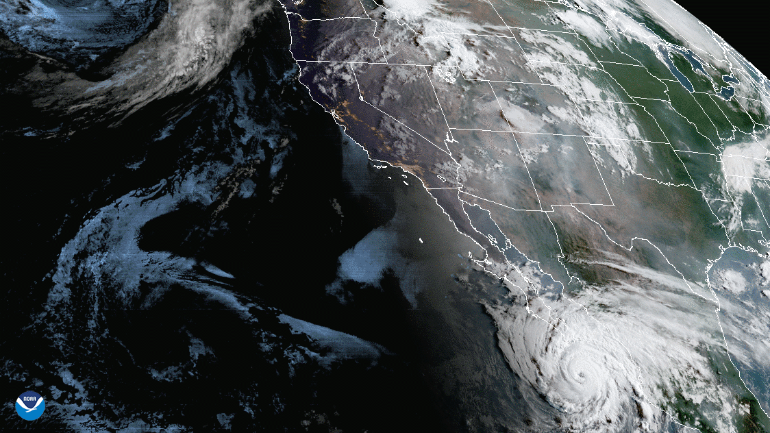
On Aug. 19, 2020, NOAA’s GOES-West satellite captured the above GeoColor image loop of massive wildfire smoke plumes…
News
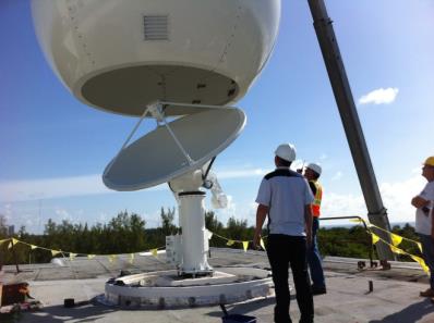
LATEST ANTENNA TO DIRECTLY RECEIVE SUOMI NPP POLAR SATELLITE DATA NOW INSTALLED
As severe storms grow in frequency…
As severe storms grow in frequency…
News

The NOAA-20 satellite's VIIRS day night band captured this nighttime image of the remnants of subtropical storm Alberto…
News
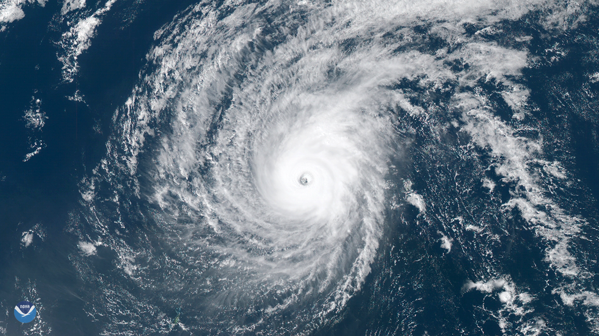
Typhoon Wutip, the strongest February storm seen in the western Pacific Ocean in 70 years, passed south of Guam and may…