
Search
Showing 209 - 216 of 607 results
News

There were 22 billion-dollar weather and climate disasters across the nation in 2020.
News

Although we've already started another trip around the sun, we’d like to take a moment to look back on 2018…
Page
General overview about the GOES-19 satellite's benefits and capabilities.
News

The NOAA-20 satellite captured this image of severe tropical cyclone Mekunu nearing the southern Arabian Peninsula on May 24…
News

The NOAA-20 polar-orbiting satellite captured this image of a rare tropical cyclone in the Gulf of Aden, between Yemen and…
News
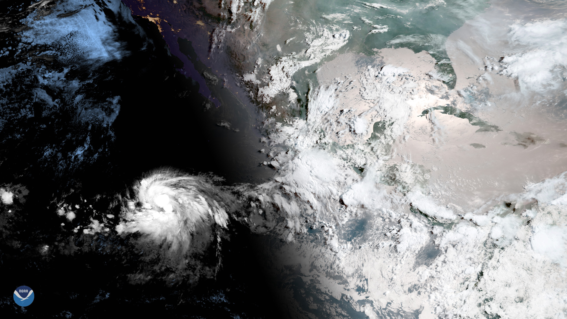
Tropical Storm Barbara, seen on July 1,2019, at 9:20 a.m. ETin this sunrise view from GOES West, is steadily strengthening…
News

This NOAA-20 image of Tropical Cyclone Idai over the Mozambique Channel shows the storm brushing the island of Madagascar.
News
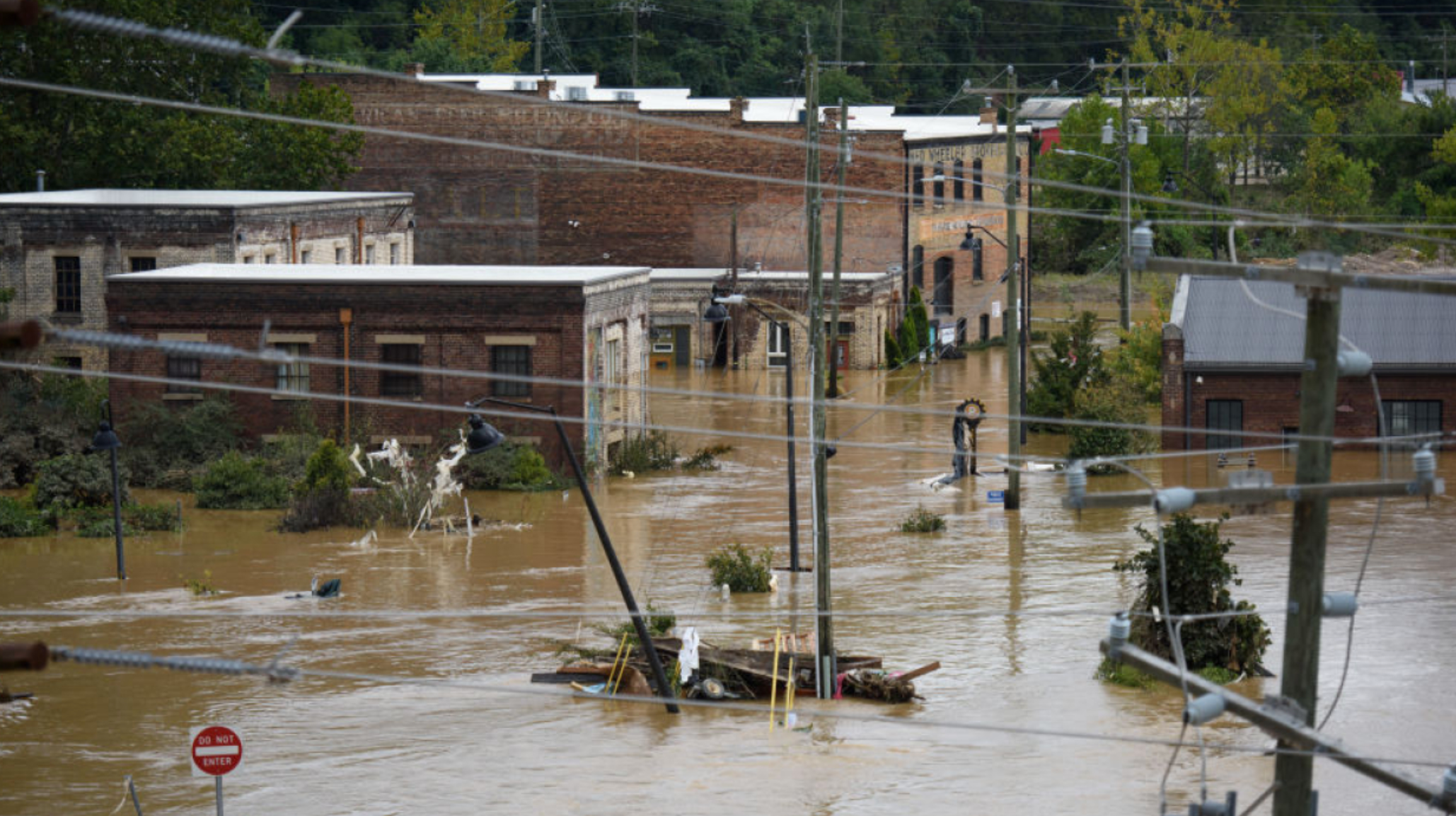
Restoration efforts are underway, some climate-related data products affected