
Search
Showing 129 - 136 of 608 results
News

NOAA Satellites captured images of Puerto Rico after Hurricane Maria knocked out the power grid and left millions without…
News

Within Hurricane Ida's eye, GOES-16 detected multiple mesovortices, which persisted over land due to the Brown Ocean…
News

GOES East captured this image of Tropical Storm Aletta in the eastern Pacific Ocean.
News

The overarching term “tropical cyclone” describes powerful storms that form around the world, but they are also referred to…
News
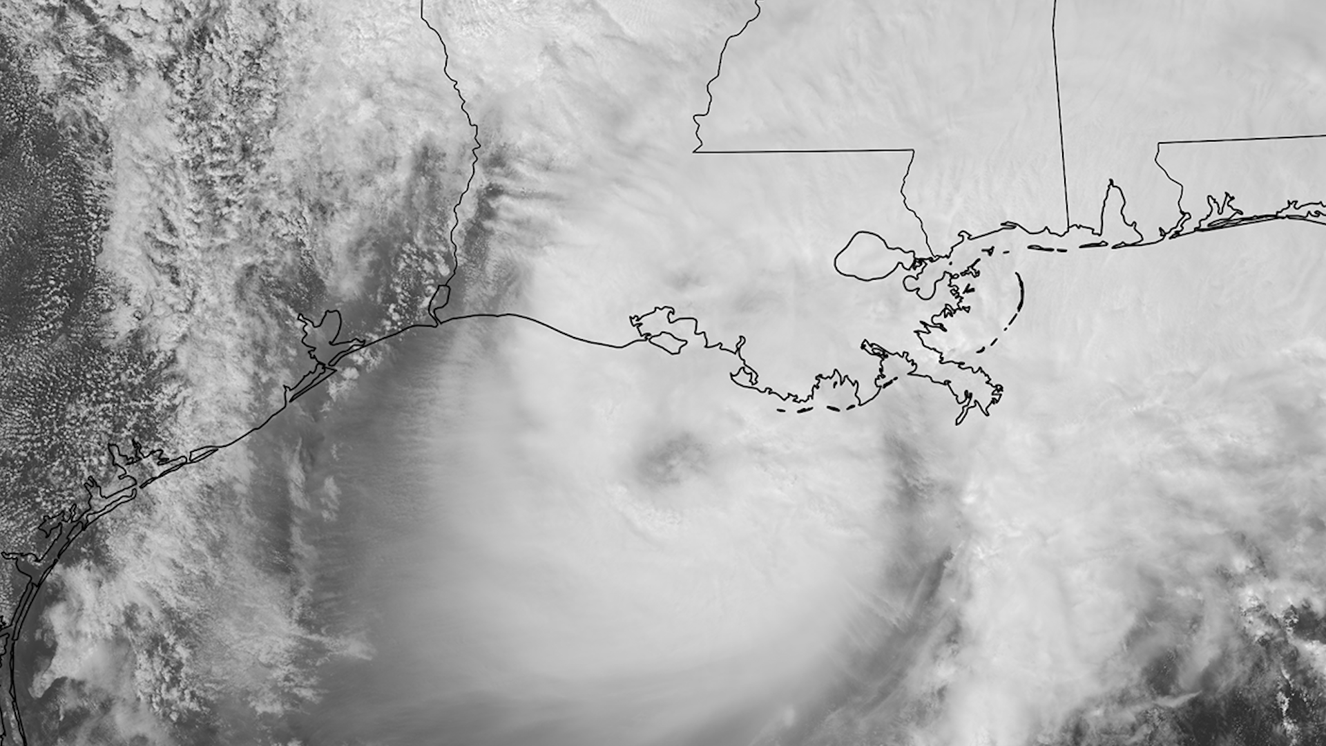
NOAA satellites have been closely tracking Tropical Storm Francine since it formed in the southwestern Gulf of Mexico over…
News

Florence appears at the northeast edge of GOES West's coverage area, over the western Atlantic Ocean
News

GOES East shows Florence's well-defined eye and outermost cloud bands beginning to approach the Outer Banks of North…
News

Day/Night band imagery shows us nighttime views of clouds and lights. This image was captured by NOAA-20 on Sept. 15, 2020.