Search
Showing 9 - 16 of 306 results
News

As climate change increases flood risks, accurate forecasting and resilience tools are more essential than ever.
News

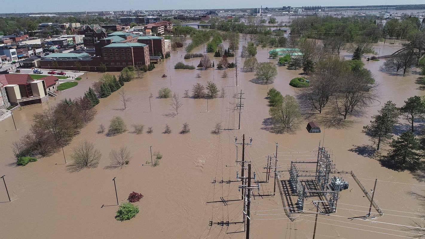
Tuesday, May 26, 2020During a recent major flooding event, scientists unveiled a newly-developed algorithm derived from…
News

As of April 29, 2011, the National Weather Service lists 369 locations around in the country as flooded, based on river…
News
This before-and-after imagery of the Lower Mississippi River Valley shows the impact of heavy rainfall and flooding that…
News

As climate-driven floods intensify, VIIRS provides near real-time data to bolster global preparedness and protect vulnerable…
News

The NOAA-20 satellite captured imagery of Venice, Italy, on Nov. 14, 2019, after devastating floods disrupted essential…
News

January 27, 2021 The image above, created from VIIRS data from the Suomi-NPP and NOAA-20 satellites, shows the extent of…
News

On Jan. 15, 2020, GOES East captured this image of the Mississippi River Delta and Mobile Bay as it experienced flash…
