
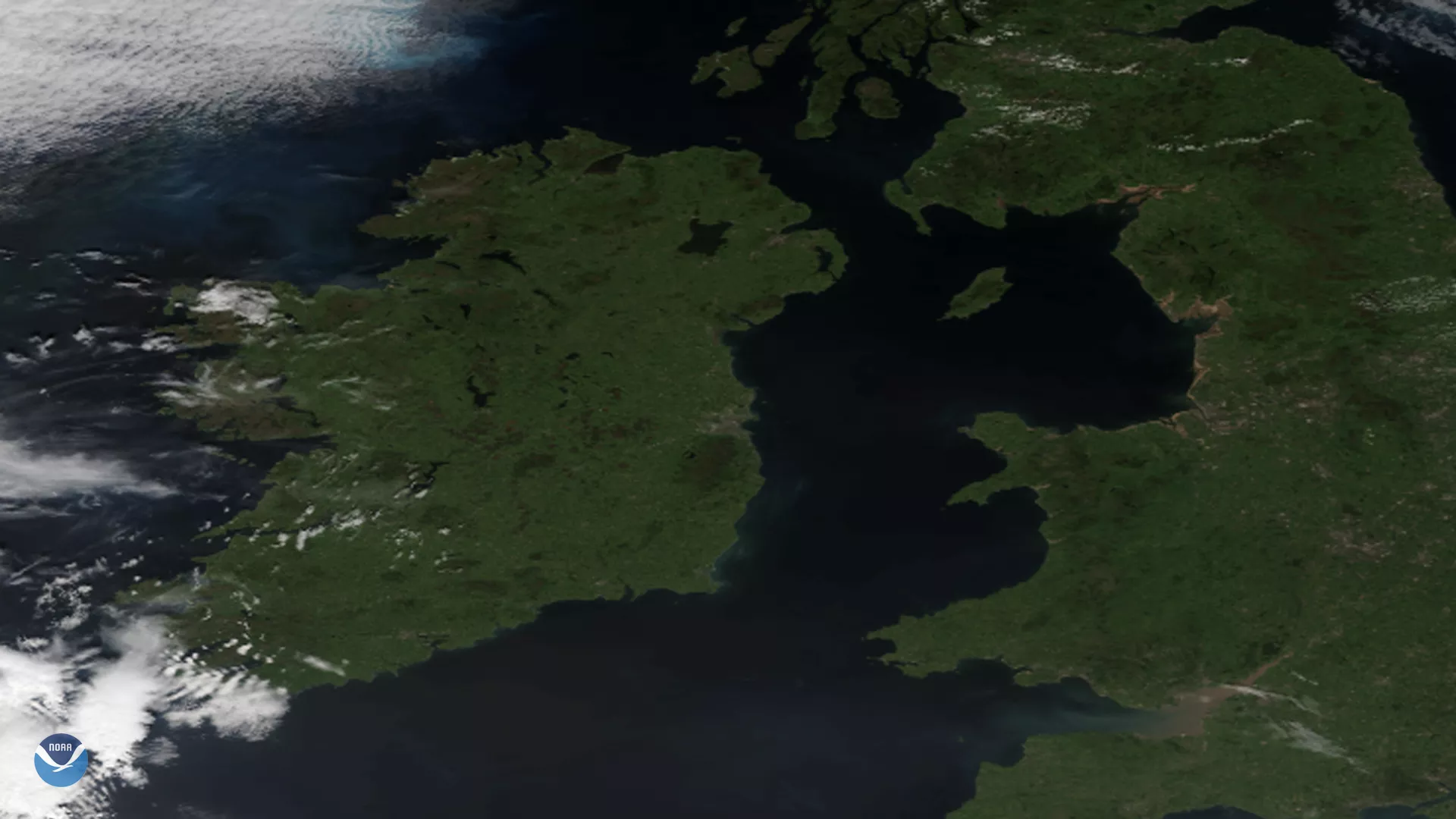
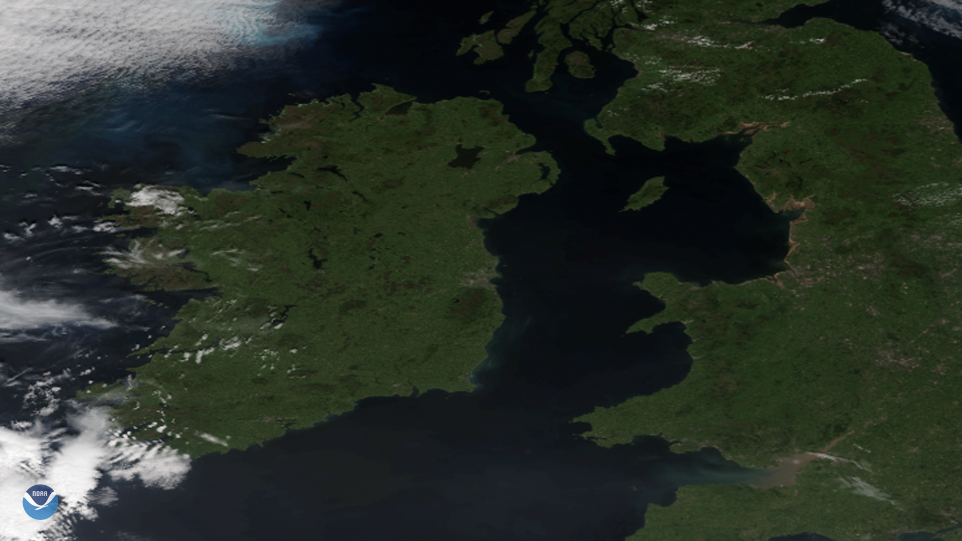
This St. Patrick’s Day, we thought it would be appropriate to share this beautiful image of Ireland, Northern Ireland, as well as Great Britain, taken by NOAA-20 on June 27, 2019. It’s not easy to get a view of the region without cloud cover, but here we can clearly see the beautiful “ 40 shades of green ” that the island’s countryside is famous for.
The skies of Ireland tend to be covered by clouds most of the year, due to its geographical location close to Atlantic low pressure systems that bring humid, cloudy air flows across the area. The country’s sunniest months are May and June, where one may see between 5 and 6.5 hours of sunshine over most of the country each day.
This image was captured by the NOAA-20 satellite's VIIRS instrument , which scans the entire Earth twice per day at a 750-meter resolution. Multiple visible and infrared channels allow it to detect atmospheric aerosols, such as dust, smoke and haze associated with industrial pollution and fires. The polar-orbiting satellite circles the globe 14 times daily and captures a complete daytime view of our planet once every 24 hours.