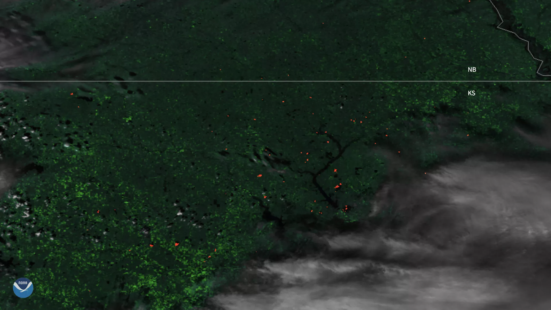
On March 30, 2020, the Suomi-NPP satellite captured this imagery of fires dotting Kansas when it passed overhead around 2:26 p.m. local time (CDT). A springtime ritual from March through April, ranchers in the state often burn off dead grass in their cattle pastures to encourage new growth.
“What does it mean?” The National Weather Service in Kansas City/Pleasant Hill, MO tweeted. “Flint Hill burning season.”
The Flint Hills of Kansas are known for many things, such as the abundant flint eroded from the bedrock, but perhaps most importantly, the area is home to the last expanse of tallgrass prairie in America. Prior to the mid-19th century, tallgrass prairie covered more than 170 million acres throughout Kansas, and reached into parts of Texas, Oklahoma, Nebraska, the Dakotas, Missouri, Iowa, and Illinois, as well as parts of Manitoba and Saskatchewan, Canada. However, just four percent of the historic range remains today, scattered in fragments across the continent. A large portion of this area in Kansas is almost completely utilized for cattle grazing.
The above image was created by combining three of the high resolution thermal and visible channels from the VIIRS sensor onboard Suomi NPP. These channels (known as SVI 4,2,1 RGB) allow us to distinguish different land types and features based on their visual and thermal differences. Areas of land that are hotter in temperature due to active fires are bright red, and burn scars appear dark red in the imagery. Smoke and clouds appear in shades of gray and white. Here we see the red hot dots of various fires with clouds overhead.

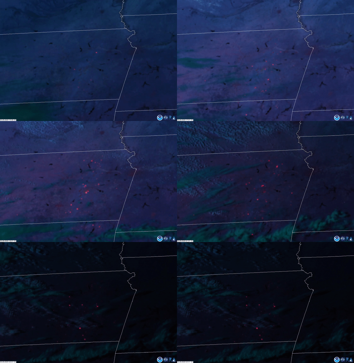
This similar Fire Temperature RGB imagery was captured by the GOES-East satellite on March 29, 2020, which shows the location and intensity of fires. Temperatures range from warm red to yellow < orange < and the hottest, white.
