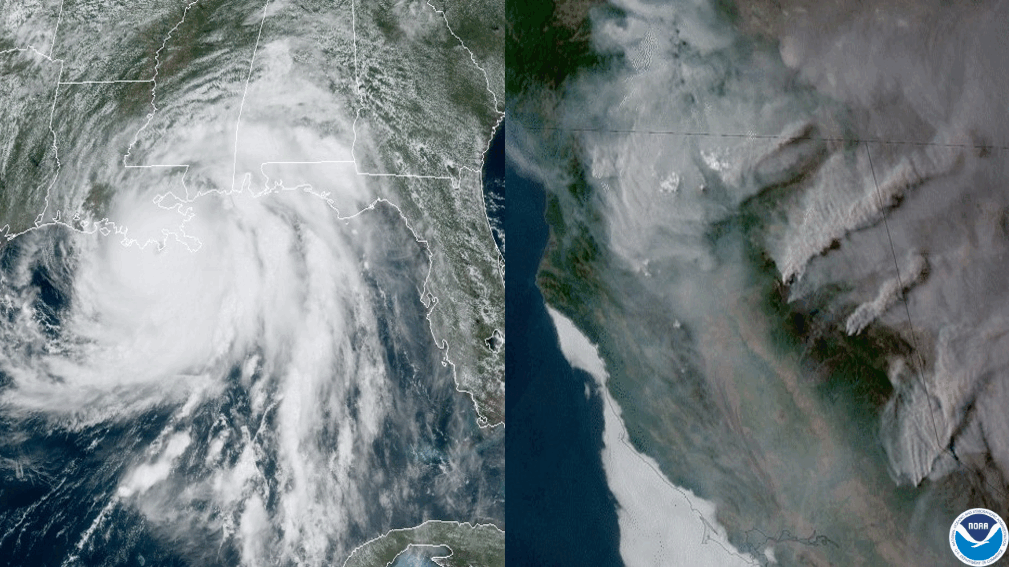
(Left) Hurricane Ida making landfall in Louisiana, as seen by the GOES-16 satellite on August 29, 2021. (Right) Smoke plumes from numerous California wildfires, as seen from the GOES-17 satellite on August 23, 2021. Ida and the western wildfires were two of the U.S. weather and climate disasters in 2021 that each exceeded $1 billion in damages. A new NOAA tool now pinpoints the risk of natural disasters across the U.S. down to county level. (Credit: NOAA)
NOAA’s National Centers for Environmental Information (NCEI) has released an innovative mapping tool that provides county-level information on natural disaster hazards across the United States. This new feature provides significant enhancements to the state-level data on NOAA’s Billion-Dollar Disasters website.
