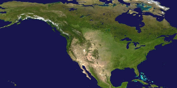

A dangerous heat wave that has been affecting more than 50 million people across the southern U.S. and Mexico expanded its reach this week, bringing more dangerous triple-digit temperatures to the region. At the same time, many others were affected by numerous thunderstorms and some tornadoes within the Plains and central U.S. NOAA satellites and forecasting models have been monitoring the record-breaking temperatures, which are being brought on by what is called a “heat dome,” in addition to the severe weather.
A heat dome occurs when a persistent region of high-pressure traps heat over a particular area, and it can linger for days to weeks. Heat domes are typically linked to the behavior of the jet stream, which is a band of fast-moving winds high in the atmosphere that move in meandering wavelike patterns. When the jet stream meanders north, it moves slower and can sink, which lowers humidity. This allows the sun to create progressively hotter conditions on the ground. Air descending down mountains can also contribute to heat domes, as it warms even more.
Temperatures across the south from Arizona into Texas have remained in the triple digits and began to spread northward into the central Plains and Missouri Valley on Wednesday. Many heat records across Texas have already been broken. Additionally, due to the heat island effect, temperatures in cities are generally higher than surrounding rural areas, since dense concentrations of pavement, buildings, and other types of hard surfaces tend to absorb and retain more heat.
“There may be more danger than a typical heat event, due to the longevity of near-record or record high nighttime lows and elevated heat index readings,” the National Weather Service’s Weather Prediction Center said. Additionally, overnight temperatures will be abnormally warm and provide little to no relief from the heat.
We are able to visualize the surface air temperatures by utilizing NOAA’s Global Forecast System model, which utilizes data from the JPSS polar-orbiting satellites.
To the north of the heat dome, strong to severe storms have been developing and are expected to continue to do so thanks to the combination of hot temperatures and an approaching cold front.
According to meteorologist Dakota Smith, there is an overall setup where a ridge of high pressure in the southwest is helping to create stagnant, high temperatures. “The storms are forming along the edge of this ridge, thus these are sometimes called “ridge-riding” storms,” he explained, adding that when these ridges set up, severe weather tends to occur in the same area over and over, day after day.
NOAA satellites monitor these storms utilizing a variety of visible and infrared channels as well as products to visualize various weather conditions. Additionally, the Geostationary Lightning Mapper (GLM) instrument onboard the GOES East and GOES West satellites allows us to collect information such as the frequency, location, and extent of lightning discharges to identify thunderstorm severity.
Officials have urged the public to take precautions in this heat, especially if you are considered vulnerable, such as children, the elderly, and individuals with chronic illnesses. Heat causes more deaths across the United States each year than any other weather event, including tornadoes, floods, and hurricanes, according to the weather service.
Make sure to drink plenty of fluids, stay out of the sun, and in an air-conditioned place. If you work or spend time outside, take extra precautions, such as frequent rest breaks in shaded or air-conditioned locations. Also, wear clothing that is lightweight and loose-fitting. If possible, reschedule strenuous activities for the early morning or evening, when cooler temperatures prevail. Car interiors can reach deadly temperatures in a matter of minutes during hot or warm weather, so make sure to never leave young children and pets unattended in vehicles. Anyone overcome by heat should be moved to a cool and shaded location.
For more preparedness information, including the signs and symptoms of heat exhaustion and heat stroke, visit the NWS Heat Safety Website.
