On Jan. 25, 2023, NOAA satellites captured an unusually long and long-lived rope cloud produced by a cold front over the Gulf of Mexico.
A rope cloud is a very long, narrow, rope-like band of cumulus cloud formations. Generally associated with a cold front or a land-sea breeze front, rope clouds tend to form at the dividing line between cooler and warmer air.
In this case, the rush of cool, dense air from the cold front pushed the warm, maritime air from the Gulf of Mexico upward, allowing water vapor to condense and the cloud to form.
These clouds are sometimes visible in satellite imagery at the boundary of different air masses. Satellite imagery can capture rope clouds, indicating a potentially changing weather pattern.
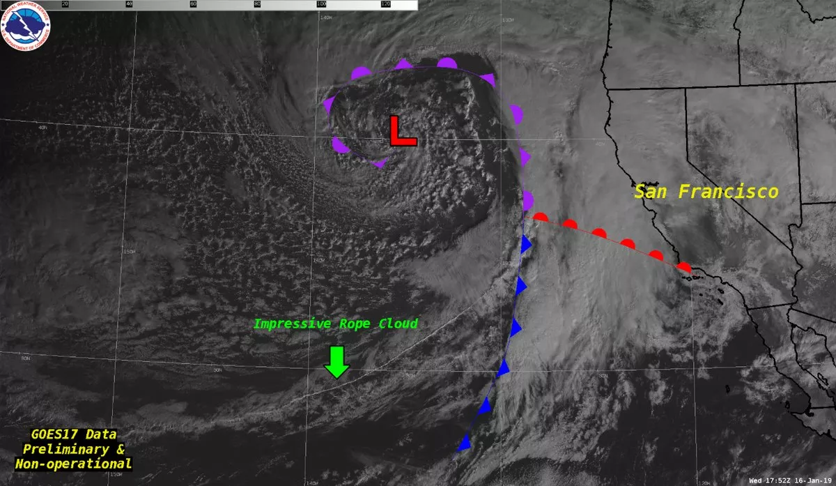
Another exceptional example of a rope cloud is one spotted with the GOES West satellite that stretched for nearly 1000 miles in the East Pacific Ocean on January 16, 2019. The cloud marked the cold front position at the time of the image, which was associated with a Hurricane Force low

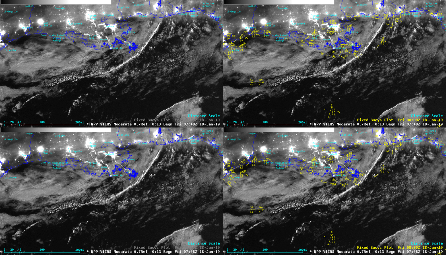
Not all rope clouds are associated with cold fronts. An example of a rope cloud caused by a land-sea breeze front was spotted in the northern Gulf of Mexico on January 18, 2019. With ample illumination from the moon—in the Waxing Gibbous phase, at 90% full—the Suomi NPP satellite’s VIIRS sensor provided this Day/Night Band image.

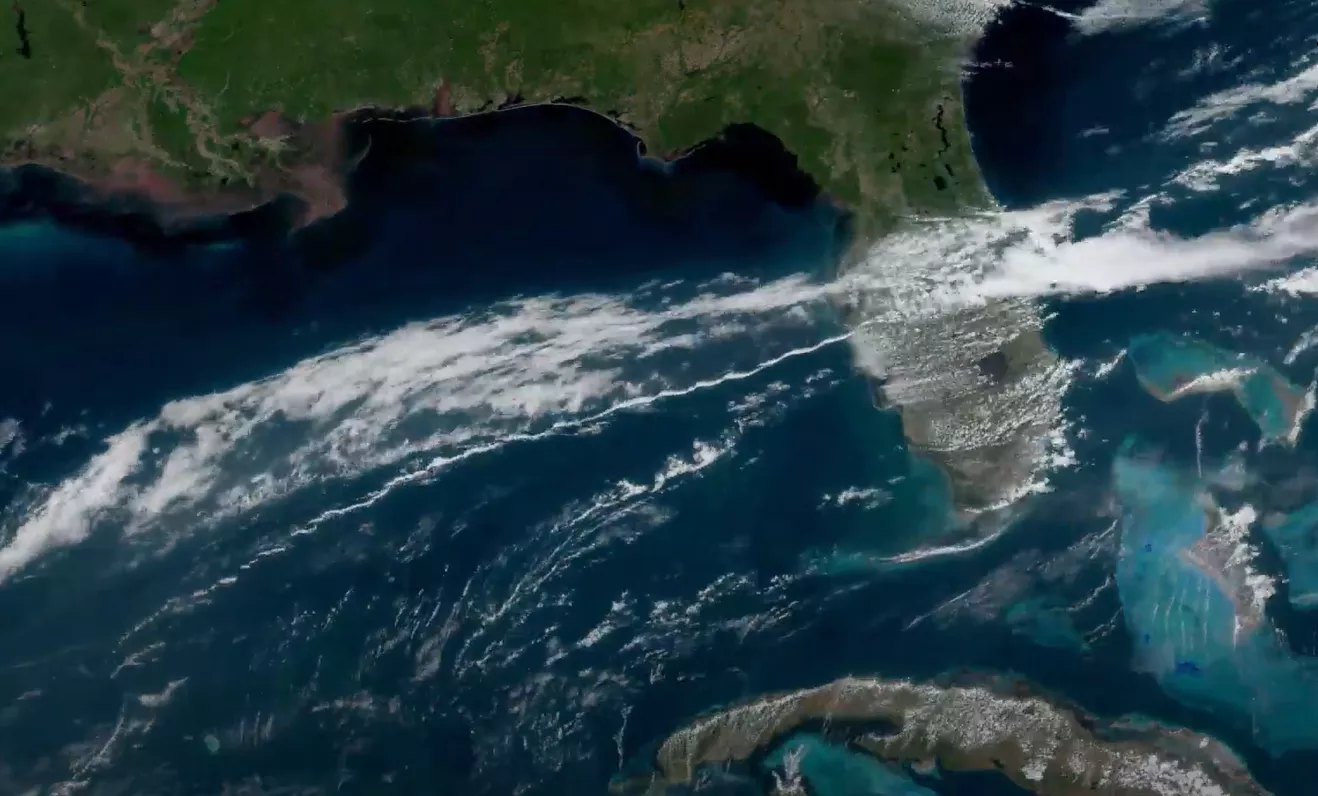
Rope clouds in the Gulf of Mexico are not historically uncommon. Another associated with a land-sea breeze is this long, narrow rope cloud that the GOES East satellite watched pushing across the Gulf and over Florida on April 26, 2021.

