
Search
Showing 9 - 16 of 148 results
News

The Suomi NPP satellite captured mostly clear skies in western and central Europe as unusually warm weather sets winter…
News

NOAA's GOES East satellite captured this geocolor enhanced image of an early season winter storm moving through the…
News
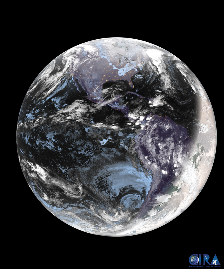
NOAA’s newest satellite, GOES-19, provided a beautiful view of Earth during the winter solstice.
News

Iceland’s worst winter storm of the year hit the country yesterday, Dec. 10, 2019, and is continuing to bring extremely…
News

With the change of seasons, there comes increased risk of severe weather.
News

January 23, 2018 The Suomi NPP satellite's VIIRS instrument captured this image of a large winter storm moving across…
News
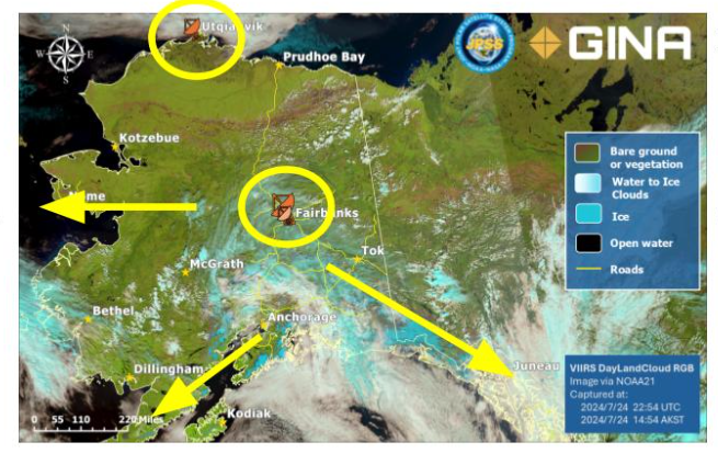
Satellite observations are vital for Alaska’s remote communities, providing critical support for safe navigation, weather…
News

On Dec. 31, 2019, GOES East saw a gradual abatement of a lake enhanced major winter storm system that has affected the Great…