
Search
Showing 161 - 168 of 608 results
News

Hurricane Lorenzo lashed Portugal’s Azores Islands early Wednesday morning, toppling trees and downing power lines as the…
News

Catastrophic Hurricane Dorian slowed to a crawl over Grand Bahama Island overnight and into Labor Day, Monday September 2,…
News
Although we’re inching closer to the peak of hurricane season — which typically occurs in early September — GOES East…
News

Eleven years ago, Hurricane Katrina made landfall on August 29, 2005, ravaging the U.S. Gulf Coast. Although NOAA provided…
News

This past weekend, NOAA satellites closely monitored Tropical Storm Claudette, the third named storm of the 2021 Atlantic…
News
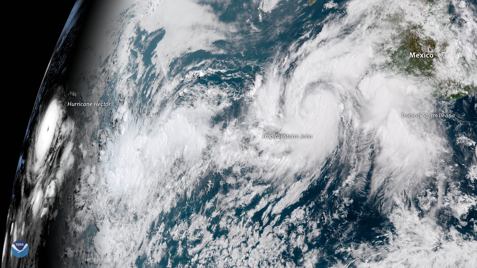
GOES East captured imagery of Hurricane Hector and two new tropical storms, John and Ileana, in the East Pacific on Aug. 6,…
News
This data visualization shows the maximum wind gusts from Hurricane Irma from September 7 to September 10, 2017. Note how…
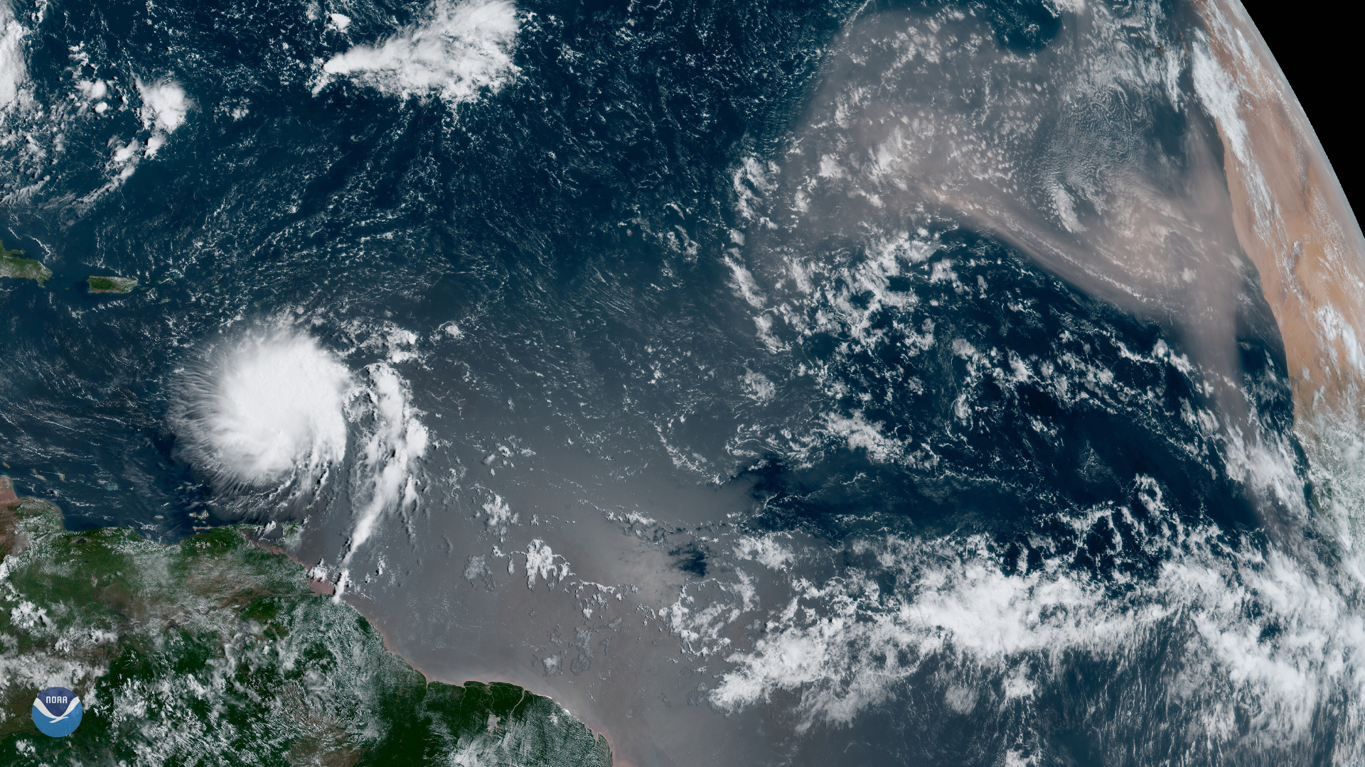
News

August 20 marked the beginning of what is typically the most active portion of the Atlantic hurricane season, and NOAA…