
Search
Showing 17 - 24 of 59 results
News
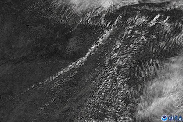
GOES East satellite’s visible channel watched the anvil-shaped cloud tops of severe thunderstorms bubble up over western…
News

From the evening of May 3 into the early morning of May 4, 2020, the GOES-East satellite used a combination of its visible…
News

With the change of seasons, there comes increased risk of severe weather.
News

GOES East captured this image of the powerful spring storm system that will deliver a wide mix of weather impacts across the…
News

GOES East captured this image of the severe thunderstorms that struck the Northeastern U.S. on May 15, 2018. The storms…
News

Spring is on the horizon. With the promise of warmer temperatures and blooming flowers also comes an increased risk of…
News

With their lofty view from space, NOAA satellites see the awe-inspiring beauty and the sobering destruction Mother Nature…
Page
GOES satellites provide the kind of continuous monitoring necessary for intensive data analysis.