
Search
Showing 73 - 80 of 307 results
News
NOAA satellites have been closely tracking Tropical Storm Francine since it formed in the southwestern Gulf of Mexico over…
News

The NOAA-20 satellite captured this image of severe tropical cyclone Mekunu nearing the southern Arabian Peninsula on May 24…
News

NOAA GOES-S will not only image the Earth as it sees it in true color, it also will be able to detect and monitor weather…
News
A spring storm system that produced severe thunderstorms across Oklahoma, Texas, and Louisiana on April 22, 2020.
News

Hurricane Irma didn't just impact land. As seen in these before-and-after true-color images captured by the VIIRS…
News

The GOES East satellite is watching a developing storm system bringing wintry weather to many states east of the Rockies.
News
Restoration efforts are underway, some climate-related data products affected
News

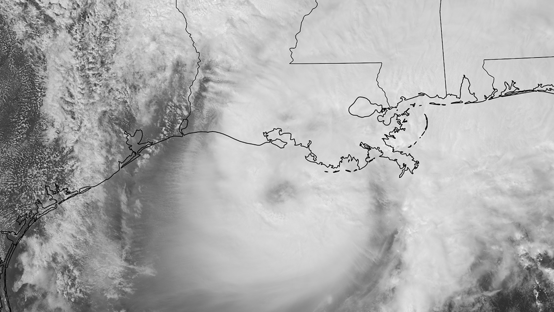
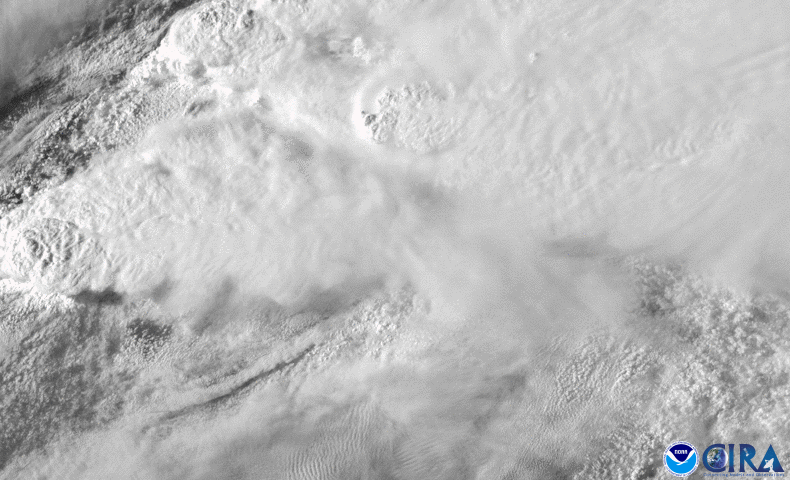
Tropical Storm Gordon, which made landfall near the Mississippi-Alabama border late on September 4, has weakened to a…