
Search
Showing 25 - 32 of 306 results
News

For the holidays, a low pressure system in the Southeast provides an interesting contrast to more wintery weather in the…
News
July 16, 2020 Over the course of several days, unusually heavy monsoonal rains have fallen over China and neighboring…
News
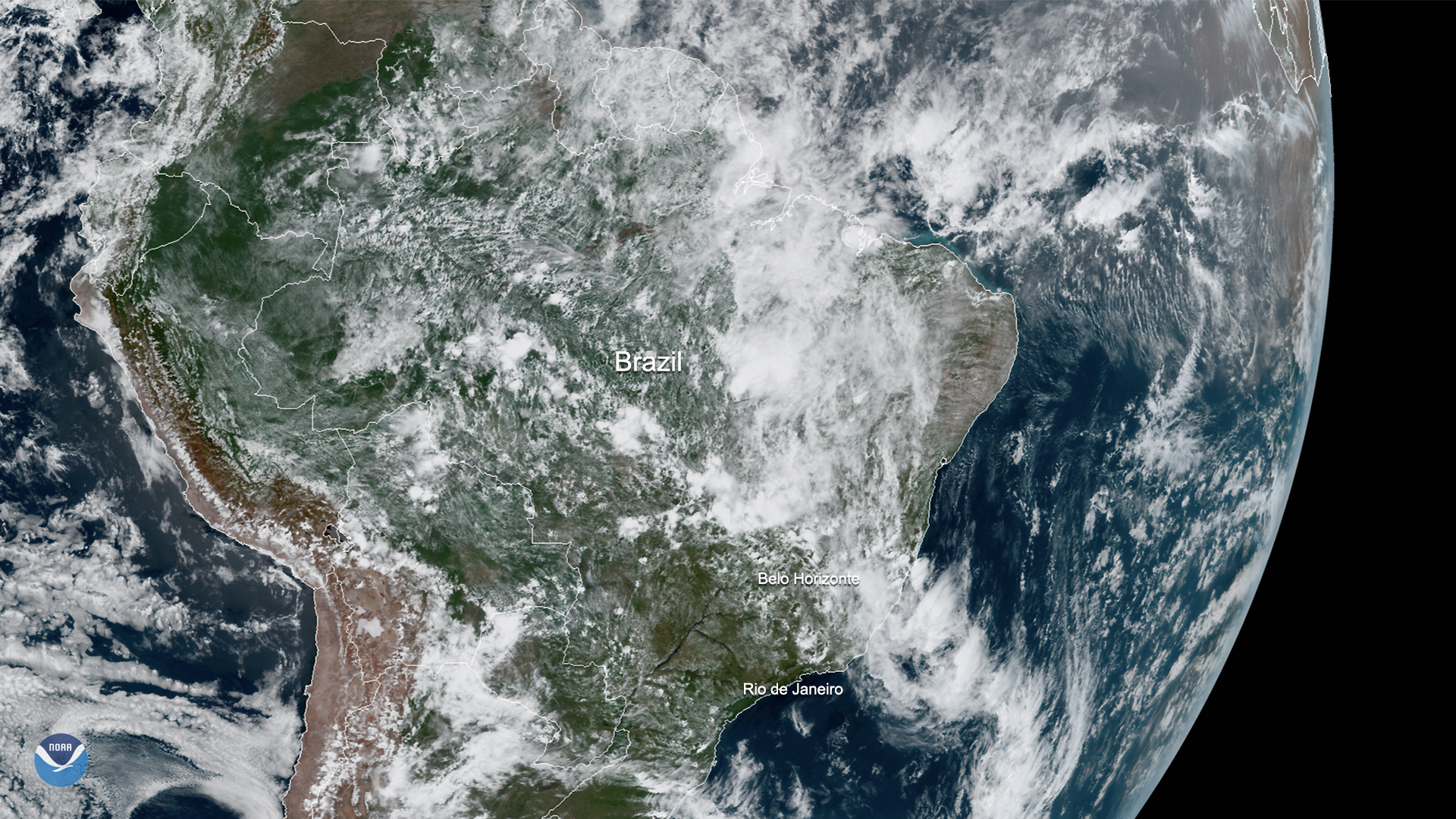
On Jan. 27, 2020, GOES-East saw the remnants of a massive storm system over the coast and interior of Brazil.
Event
Apr 15 2024
April 15, 24
NOAA's National Weather Service has a mission to provide weather, water and climate data, forecasts, warnings....
News

The remnants of Tropical Storm Ophelia over the Atlantic Ocean combined with a mid-latitude system arriving from the west at…
News

Exactly two weeks after Tropical Cyclone Idai barrelled through Mozambique’s coastal city of Beira, the devastation on the…
News
March 04, 2020 On March 4, 2020, GOES-East saw an ongoing storm system over the coast and interior of Brazil. According to…
News

March 26, 2020 On March 26, 2020, the Meteosat-11 satellite viewed Italy and the surrounding Mediterranean Sea, where a low…