
Fires Leave Large Burn Scars on the Landscape in Russia's Far East
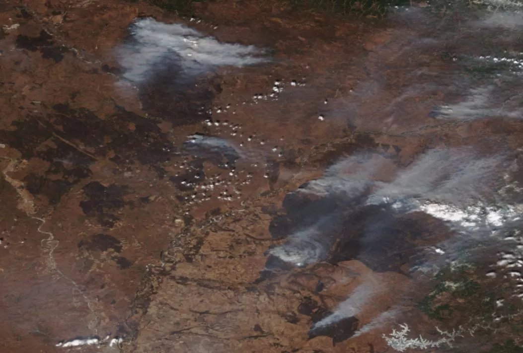
Beginning in late March, the NOAA-NASA Suomi NPP and NOAA-20 satellites detected several fires burning in Russia's far eastern Amur Province.
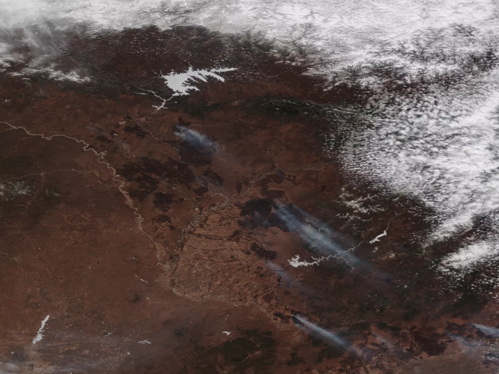
Initially, the fires were rather small (as seen here in this true-color image captured by NOAA-20 on March 29). According to NASA, "most were probably lit by people, mainly to burn dried grasses and old crop debris from fields. People in the area routinely light fires in the spring to fertilize the soil, maintain pasturelands, and prevent forest encroachment."
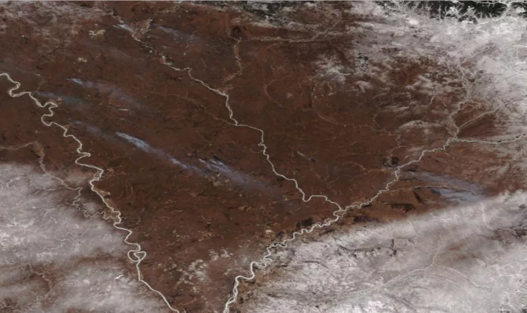
However, as seen in the following image captured by NOAA-20 on April 24, the fires grew much larger and left significant burn scars on the landscape (see the brown areas of charred forest). In addition, the presence of more smoke plumes shows that more fires have ignited in the region.
Natural (or true) color imagery is created by combining data from the VIIRS imagers' red, green and blue bands into a single image that resembles a color photograph taken from space. Data from additional bands is also included to address light scattered by atmospheric interference. True-color images are particularly useful to human analysts, as it takes advantage of our inherent familiarity with color interpretation and offers a wide variety of information through colors that cannot be generated in other types of imagery (e.g., visible).