

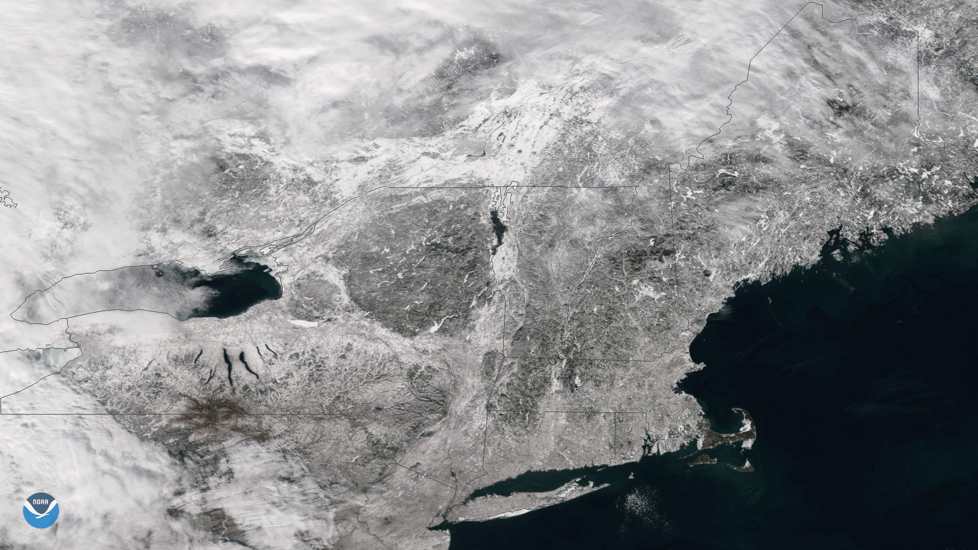
The Suomi NPP satellite flew over clear skies on January 10, 2018, capturing this image of snow on the ground in New England. Last week's 'Bomb Cyclone' nor'easter brought frigid, below-zero temperatures and a reported 14 inches of snow to the greater Boston, Massachusetts area. But with Boston's and regional high temperatures near 50 oF today, lots of snow is melting, leading the NOAA National Weather Service to post widespread Flood Watches.
Although true-color images like this may appear to be photographs of Earth, they aren't. They are created by combining data from the three color channels on the VIIRS instrument sensitive to the red, green and blue (or RGB) wavelengths of light into one composite image. In addition, data from several other channels are often also included to cancel out or correct atmospheric interference that may blur parts of the image.