
The North American summer wildfire season has been exploding across the West, intensified by numerous heat waves and widespread drought conditions.
On July 1, the GOES West satellite viewed GeoColor and Fire Temperature imagery of British Columbia, Canada, with an added overlay to show the lightning that was produced by the fires’ pyrocumulonimbus clouds, or fire-derived clouds that are created by convection and rising heat. They also have a prominent above anvil cirrus plume, a standout feature that is partially obscured by the Geostationary Lightning Mapper overlay. The satellite’s GLM, additionally, captured the lightning’s activity as it occurred in this sped-up imagery of the event.
According to the British Columbia Wildfire Service’s dashboard, about 70% of the fires from July 1 were caused by lightning strikes, with the rest a likely combination of human or unknown origin.

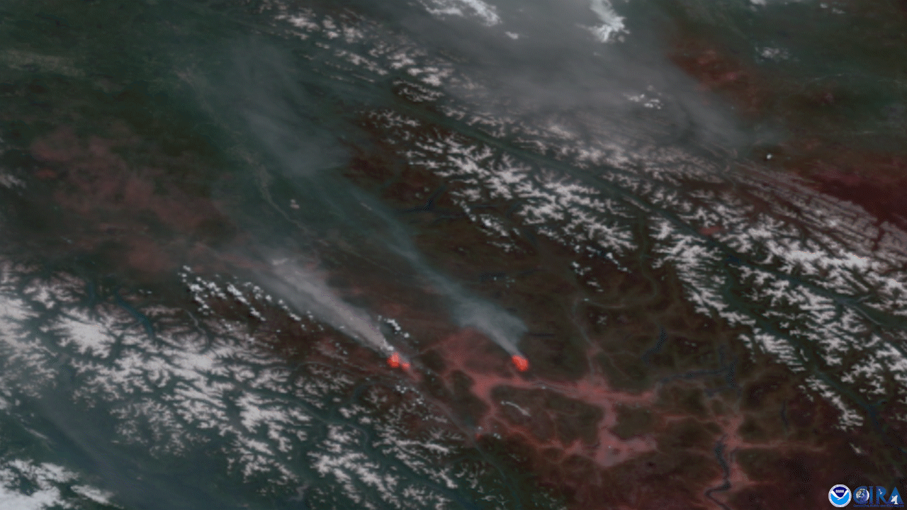
In this GeoColor image from July 12, smoke from numerous wildfires across the West and Midwest is showing up dramatically as gray-brown, in stark contrast to the white cloud cover over the continent. As of July 12, there were 307 current active fires in British Columbia, with 37 new fires in the last two days.
The GOES West satellite, also known as GOES-17, provides geostationary satellite coverage of the Western Hemisphere, including the United States, the Pacific Ocean, Alaska and Hawaii. First launched in March 2018, the satellite became fully operational in February 2019.