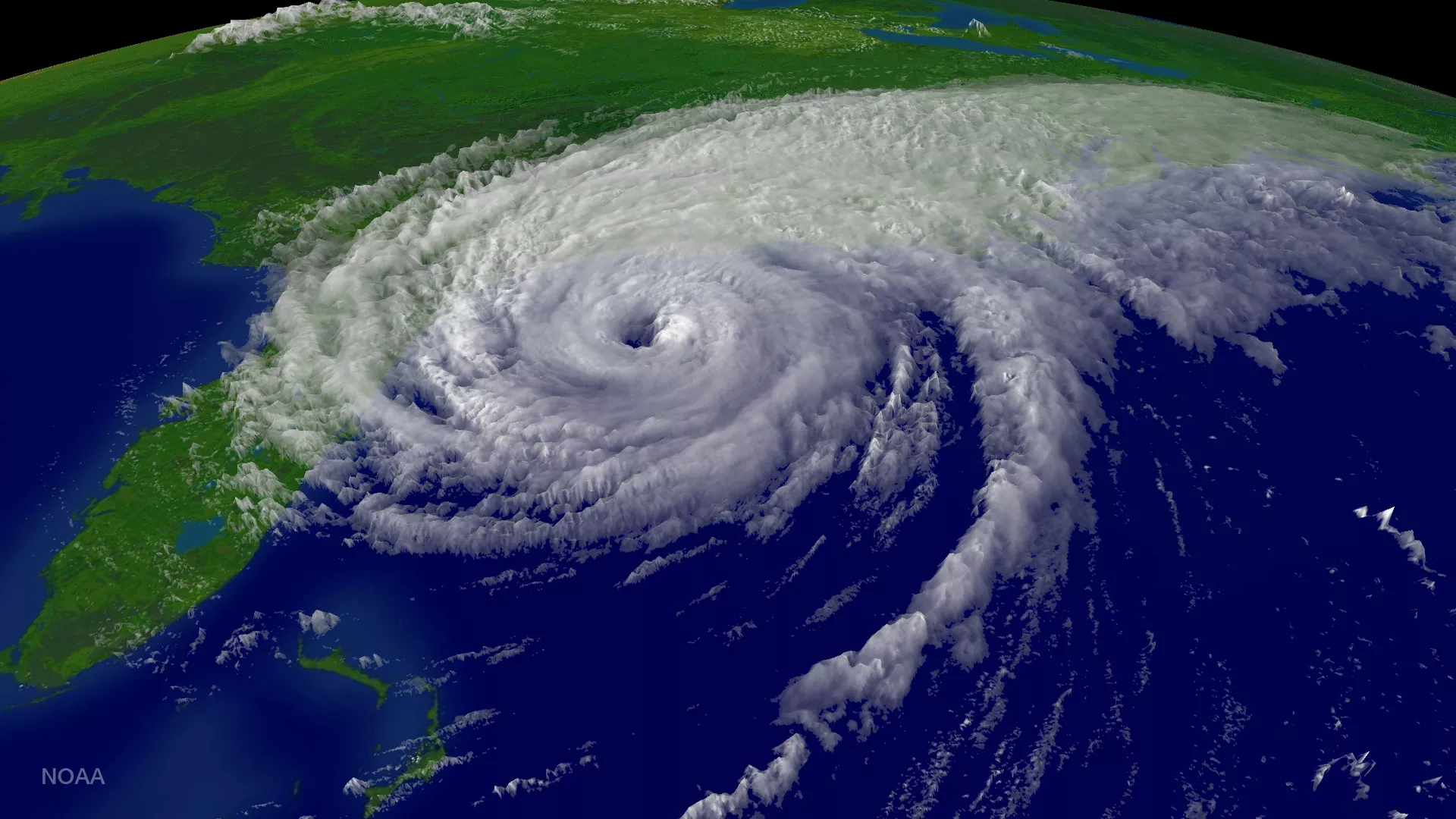
Hurricane Floyd was the first major storm visualized by NOAA's Environmental Visualization Laboratory. This image from September 14, 1999 shows the storm as it moved up the U.S. east coast before making landfall in North Carolina. McIDAS format GOES-8 band 1 data within GIS Autometric EDGE software.
