

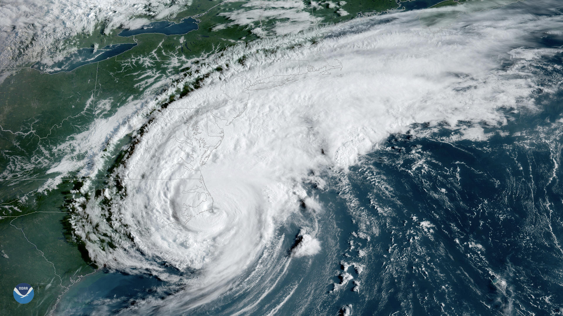
Ever curious about the path a tropical cyclone takes?
Find out by using the latest version of IBTrACS, NCEI’s global inventory of tropical cyclones. It lets forecasters analyze current storms in the context of historical data.
Learn more: go.usa.gov/xvb5u