
Improving Terrestrial Land Monitoring Capabilities Through New Satellite Technology
Get updates about new data available, satellite instrument development progress, and provide feedback on your changing needs and challenges.
Pre-registration requested for virtual; Required for in-person attendance. In-Person U.S. Citizens Only
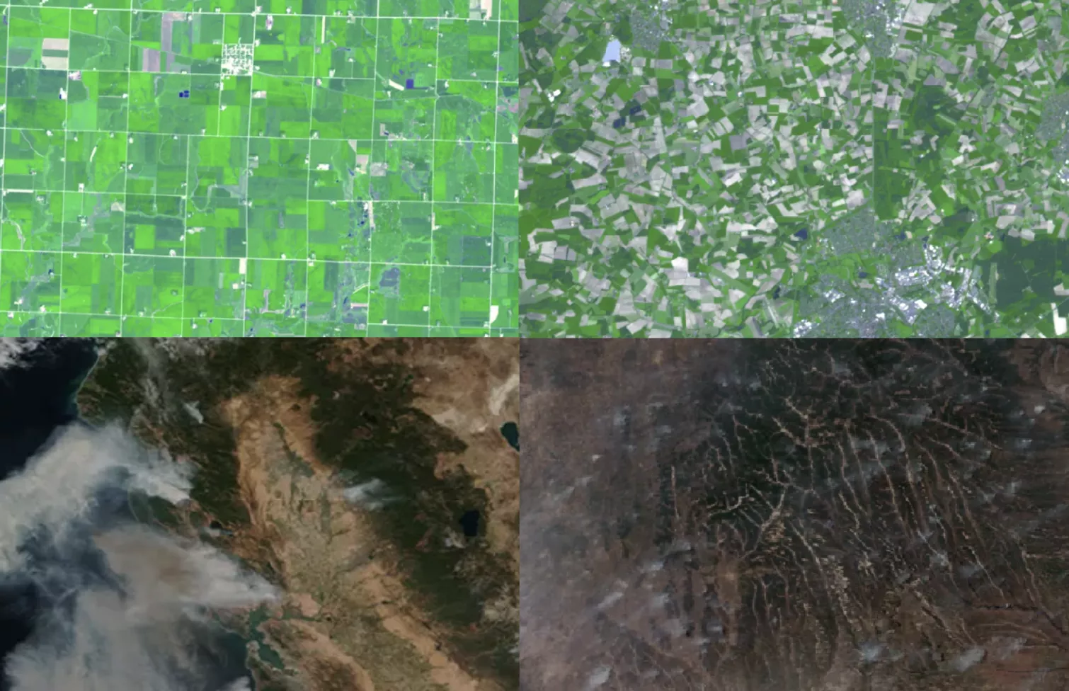
Learn about NOAA’s next generation satellite capabilities to monitor our nation’s abundant natural ecosystems. Topics will include land cover/land use change, agricultural and forestry monitoring, fire detection, spread, and emissions, flooding, inundation and drought, crop condition, phenology and yield, as well as lightning, atmospheric sounding and composition, for agriculture, forestry and other terrestrial ecosystems.
This event will focus on:
- Several use cases
- Identifying user needs and requirements for this upcoming mission
- Advancing engagement and readiness for the newest and next generation satellites
Context: In 2020 thematic workshops were held to determine user needs and develop requirements for new instruments planned for deployment on the next generation of NOAA geostationary satellites, GeoXO. Since then, many new technologies, products, and services have become available. The technology and information landscape is expected to evolve rapidly, underscoring the importance of continued stakeholder engagement to ensure that current and future NOAA products and services are interoperable and impactful.
We look forward to your participation and feedback as we continue to guide the production of new data products and future instrument requirements.