Eleven years ago, Hurricane Katrina made landfall on August 29, 2005, ravaging the U.S. Gulf Coast. Although NOAA provided an accurate forecast of Katrina’s track three days in advance, the resulting devastation motivated a concerted effort to significantly advance hurricane modelling, prediction, and warning capabilities within NOAA, as well as the broader scientific community.
Eleven years ago the Atlantic Basin, and the United States, experienced a record shattering Atlantic hurricane season. The most active season in recorded history, 2005 brought 27 named storms, 14 hurricanes, and three category five storms.
Among those was Hurricane Katrina, the costliest natural disaster in the United States ever and the deadliest since 1928.
Hurricane Katrina made landfall 11 years ago, on August 29, 2005, ravaging the U.S. Gulf Coast with far-reaching devastation. The storm took nearly 2,000 lives, half of the total casualties from the entire 2005 hurricane season, and caused $108 billion in property damage with an estimated 300,000 homes destroyed or made uninhabitable.

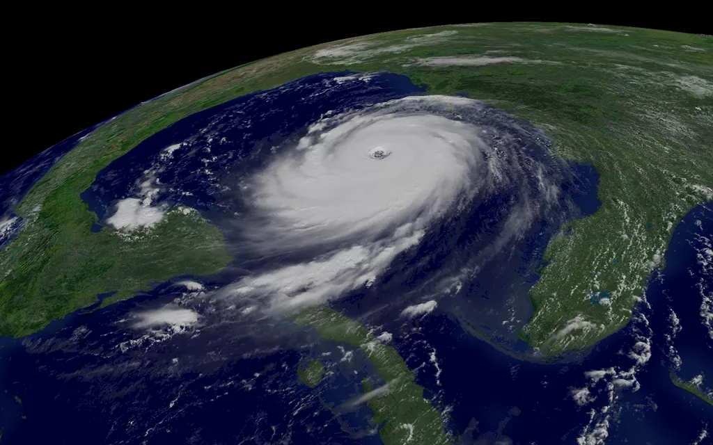
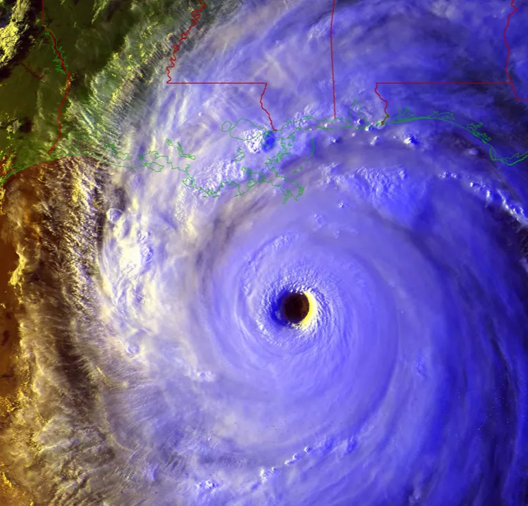
GOES-12 captured this visible image of Hurricane Katrina on August 28, 2005- Just one day before it made landfall. Credit: NOAA
Although NOAA provided an accurate forecast of Katrina’s track three days in advance, the resulting devastation motivated a concerted effort to significantly advance hurricane modelling, prediction, and warning capabilities within NOAA, as well as the broader scientific community.
Today, NOAA satellites are providing data that contribute to improved weather forecasts and models. The current three-day forecasts have become as accurate as two-day forecasts were ten years ago.

Credit: NOAA/NCEI
NOAA is also working to launch the next-generationgeostationary satellite fleet (GOES-R) and the Joint Polar Satellite System (JPSS)—both will work in tandem to provide data that will continue to improve hurricane forecasts in the future.
In 2005, NOAA’s GOES and POES satellites kept close tabs on Hurricane Katrina’s track as it approached the United States with aGOES image produced every five minutes. With the launch ofGOES-R, scientists will be able to view images of hurricanes taken every 30 seconds, significantly improving hurricane forecasting and tracking and providing longer watch and warning lead times for areas in harm's way.
GOES-R will also feature the Geostationary Lightning Mapper, which will provide near total lightning coverage over both land and ocean enabling new hurricane research on how lightning relates to hurricane intensification.
To NOAA, Katrina was more than just a hurricane to track, it was also a personal story. As Katrina passed over Mississippi’s Stennis Space Center it unleashed its full fury on those working for NOAA’s National Centers for Environmental Information (NCEI). To hear the story of those employees and their collective experience during and after the storm be sure to see NCEI’s Katrina at 10 Story Map.