NESDIS Program Offices
NESDIS is made up of numerous offices that each manage different areas of satellite operations and acquisitions as well as environmental data and information.
Our headquarters is located in Silver Spring, Maryland, and other mission support offices are located across the United States.
SWO develops and deploys operational satellite systems that study space weather and safeguard society.
Office of Space Weather Observations
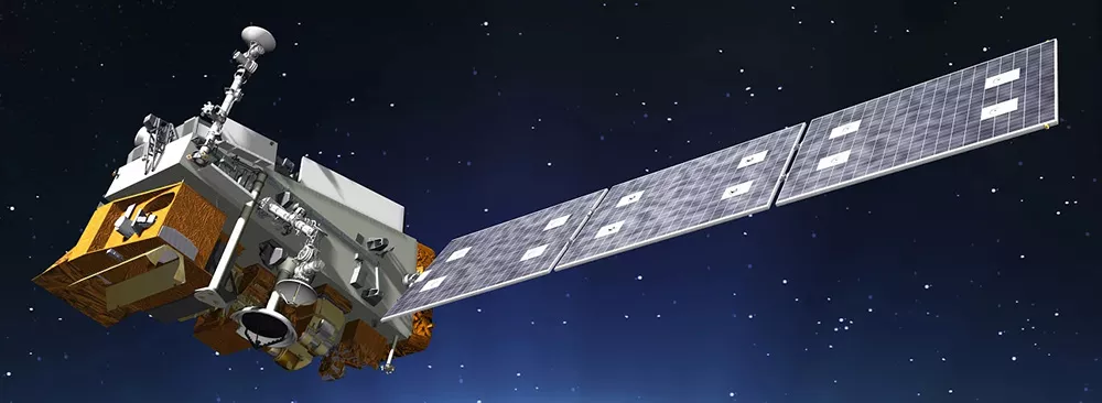
Developing the Next Generation of Polar-Orbiting Operational Environmental Satellites: A Collaborative Effort between NOAA, NASA and Industry Partners
Office of Low Earth Orbit Observations
Advanced detection of environmental phenomena that directly affect public safety, protection of property, and our nation’s economic health and prosperity.
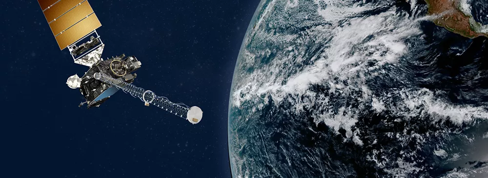
Office of Geostationary Earth Orbit Observations
STAR translates raw satellite data into critical information needed to inform the public and safeguard the environment across the country and around the world.
Center for Satellite Applications & Research
NCEI is the Nation’s leading authority for environmental data—storing and providing public access to one of the most significant environmental data archives on Earth.
National Centers for Environmental Information
SAE accelerates our nation’s environmental information services by designing and developing the next generation of Earth observation and data information systems.
Systems Architecture and Engineering
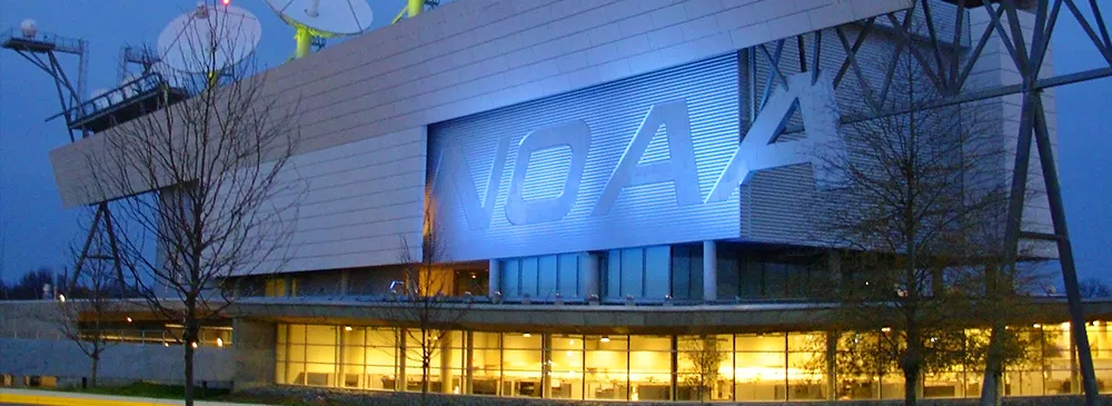
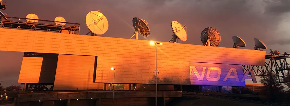
OSPO is the primary intermediary between civil sector users of data and operational environmental satellites, and is also responsible for transmitting data to remote receiving stations.
Office of Satellite & Product Operations
OCS works to maintain and advance agile, scalable, and efficient solutions to make sure that satellite data gets to users.
Office of Common Services
IIAD facilitates the process and policy behind working with nations that are tracking the weather and the global climate.
International & Interagency Affairs Division
