
NOAA's GOES-R Series
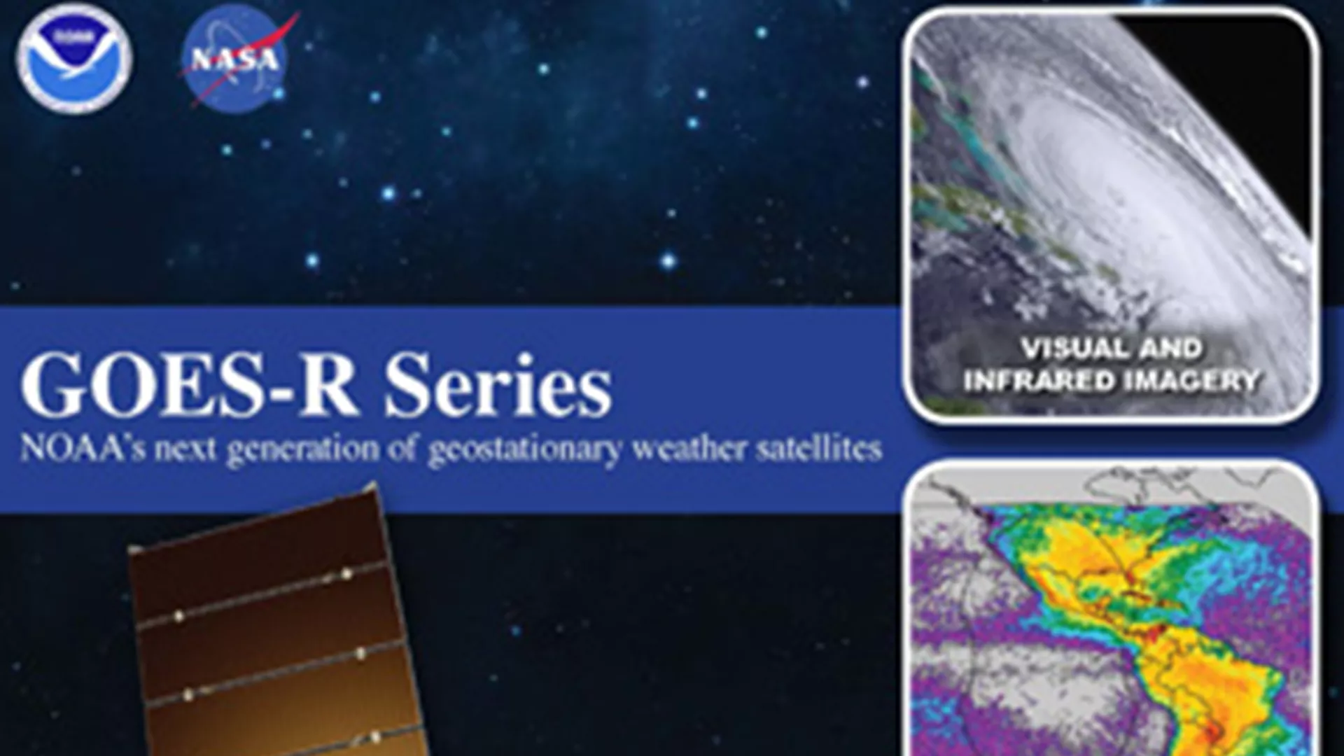
NOAA’s Geostationary Operational Environmental Satellites (GOES)–R Series is the Western Hemisphere’s most sophisticated weather-observing and environmental-monitoring system. The GOES-R Series provides advanced imagery and atmospheric measurements, real-time mapping of lightning activity, and monitoring of space weather.
GOES-R Series Mission
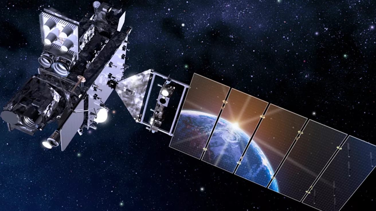
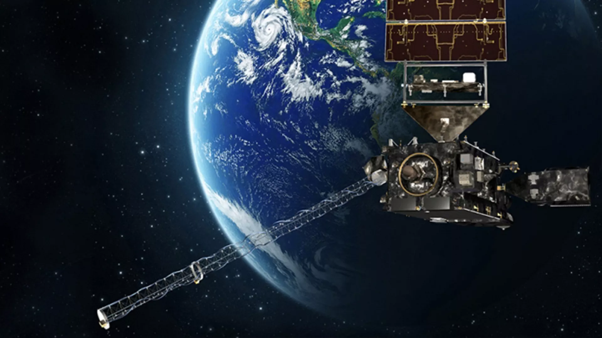
GOES satellites orbit 22,236 miles above Earth’s equator, at speeds equal to the Earth's rotation. This allows them to maintain their positions over specific geographic regions so they can provide continuous coverage of that area over time.
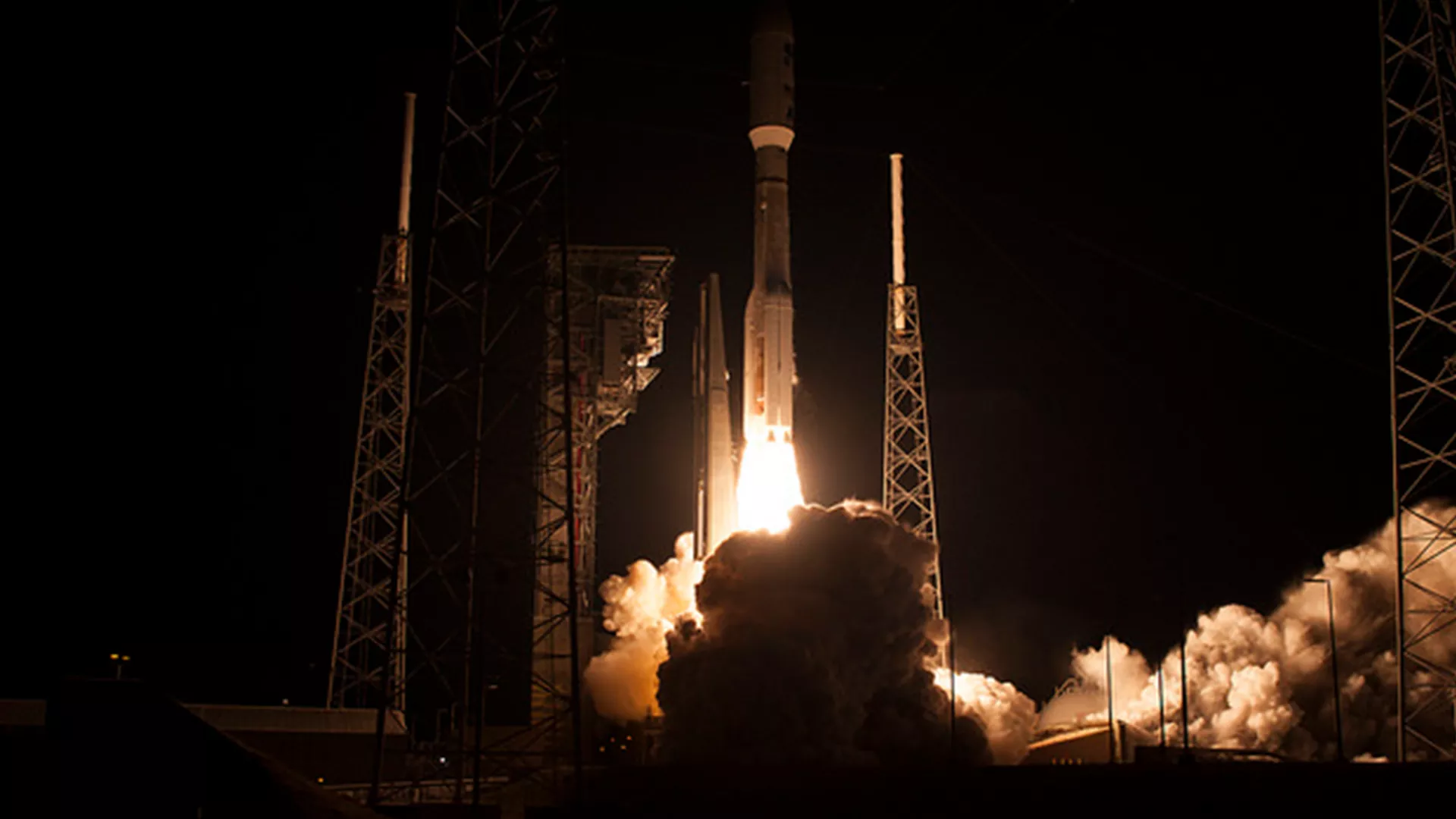
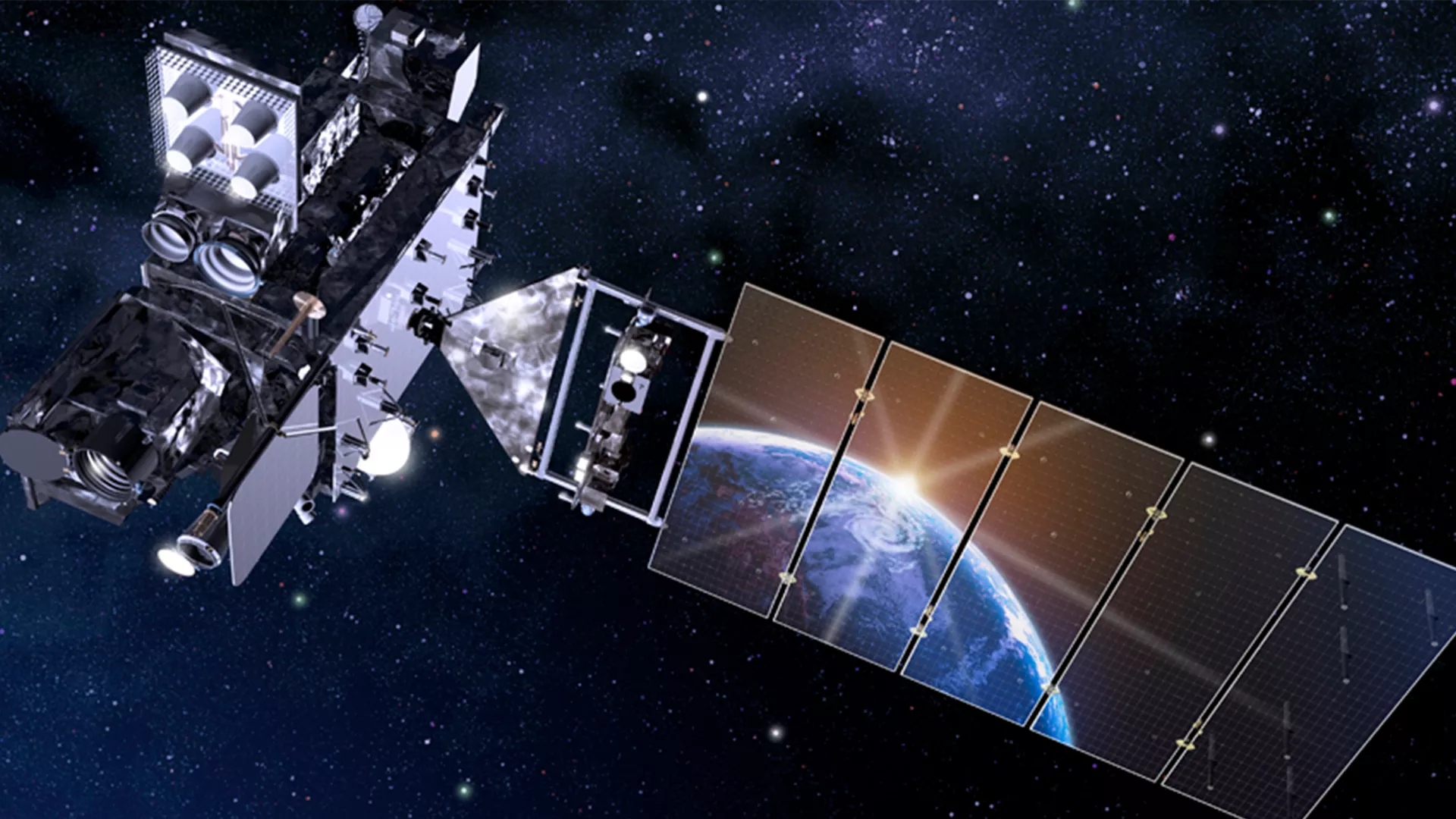
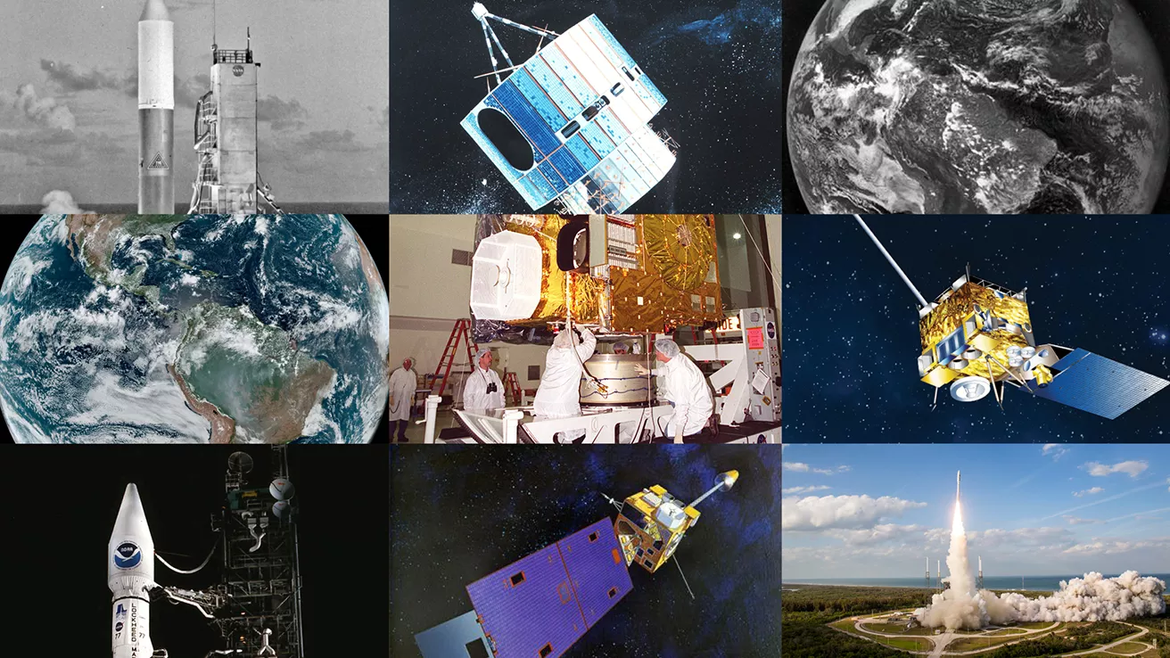
The GOES-R series of satellites, designated with a letter during development and renamed with a number after reaching geostationary orbit, have transformed NOAA’s geostationary weather monitoring capabilities.
GOES-U (now GOES-19) was launched in 2024 and operates as NOAA’s GOES East satellite, while GOES-T (now GOES-18), was launched in 2022 and is NOAA’s operational GOES West satellite. GOES-R (now GOES-16), launched in 2016, and GOES-S (now GOES-17) launched in 2018, both serve as on-orbit backups.
Together, GOES East and GOES West watch over more than half the globe — from the west coast of Africa to New Zealand and from near the Arctic Circle to the Antarctic Circle.
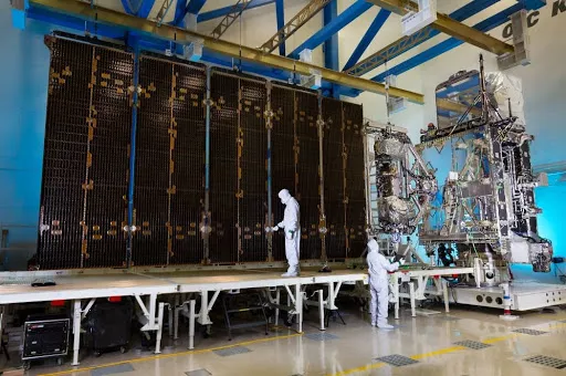
The GOES-R Program is a collaborative effort between NOAA and NASA. NASA builds and launches the satellites for NOAA, which operates them and distributes their data to users worldwide.
Monitoring Weather on Earth and in Space
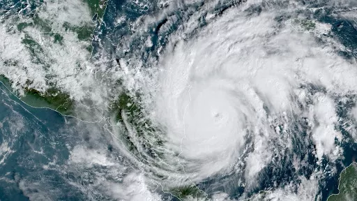
The GOES-R Series imager scans the Earth five times faster with four times the resolution and three times the number of channels than previous GOES for more accurate and reliable forecasts and severe weather warnings. The imager provides images of weather patterns, hurricanes and severe storms as frequently as every 30 seconds.
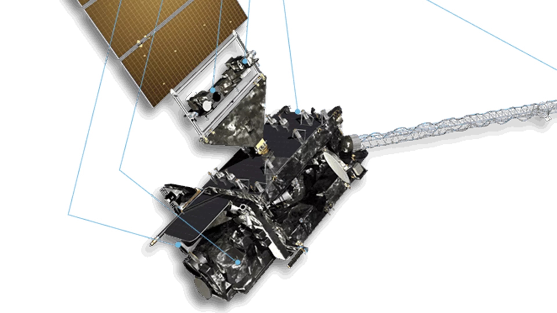
GOES-R Series satellites carry the first operational lightning mapper flown in geostationary orbit, which measures both in-cloud and cloud-to-ground lightning. Developing severe storms often exhibit a significant increase in total lightning activity, and data from the GOES-R Series lightning mapper, has great potential to increase lead time for severe thunderstorm and tornado warnings.
The GOES-R Series also hosts a suite of instruments that improve detection of approaching space weather hazards such as disruption of power utilities and communication and navigation systems and radiation damage to orbiting satellites. The instruments provide advanced imaging of the sun and detection of solar eruptions as well as more accurate monitoring of energetic particles and magnetic field variations associated with space weather.
Benefits
The GOES-R Series provides critical atmospheric, hydrologic, oceanic, climatic, solar and space data, significantly improving detection and observation of environmental phenomena that directly affect public safety, protection of property, and our nation’s economic health and prosperity:
- Improved hurricane track and intensity forecasts
- Increased thunderstorm and tornado warning lead time
- Earlier warning of lightning ground strike hazards
- Better detection of heavy rainfall and flash flood risks
- Better monitoring of smoke and dust
- Improved air quality warnings and alerts
- Better fire detection and intensity estimation
- Improved detection of low clouds and fog
- Improved transportation safety and aviation route planning
- Improved warning for communications and navigation disruptions and power blackouts
- More accurate monitoring of energetic particles responsible for radiation hazards
Other Resources
Schedules, Transitions, and Operations
Related News
-
From their orbits, NOAA satellites can play a vital role in detecting and tracking severe weather,…
-
On July 7, 2024, NOAA's GOES-U satellite reached geostationary orbit above Earth's…
-
A cutting-edge new instrument is ready to be installed on NOAA’s GOES-U satellite, which is…
-
NOAA’s GOES-T satellite recently completed rigorous testing to ensure it can withstand the harsh…