
Services

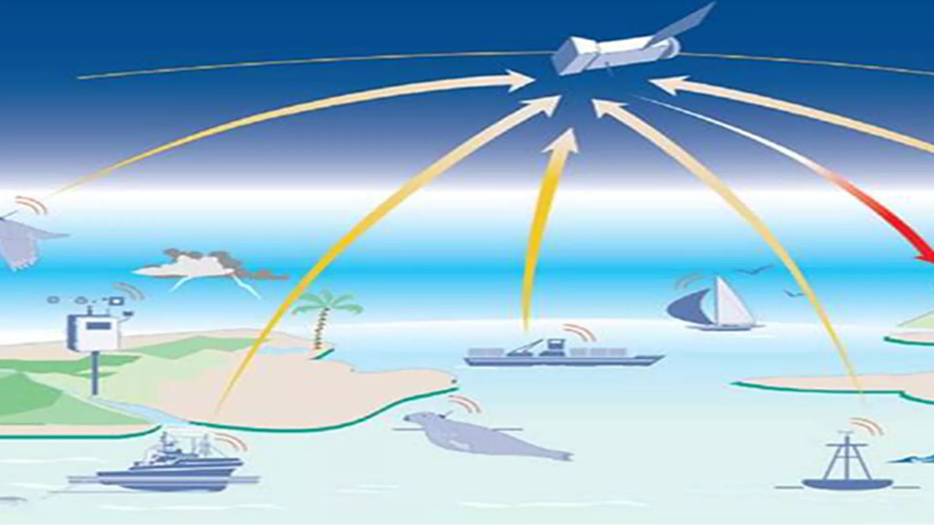
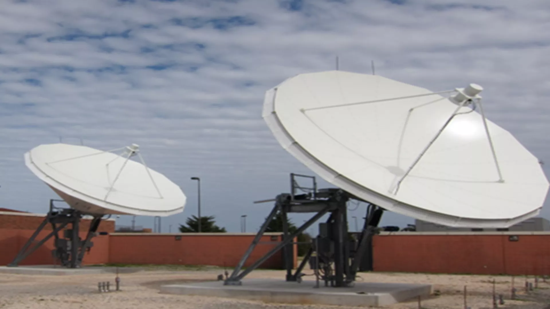
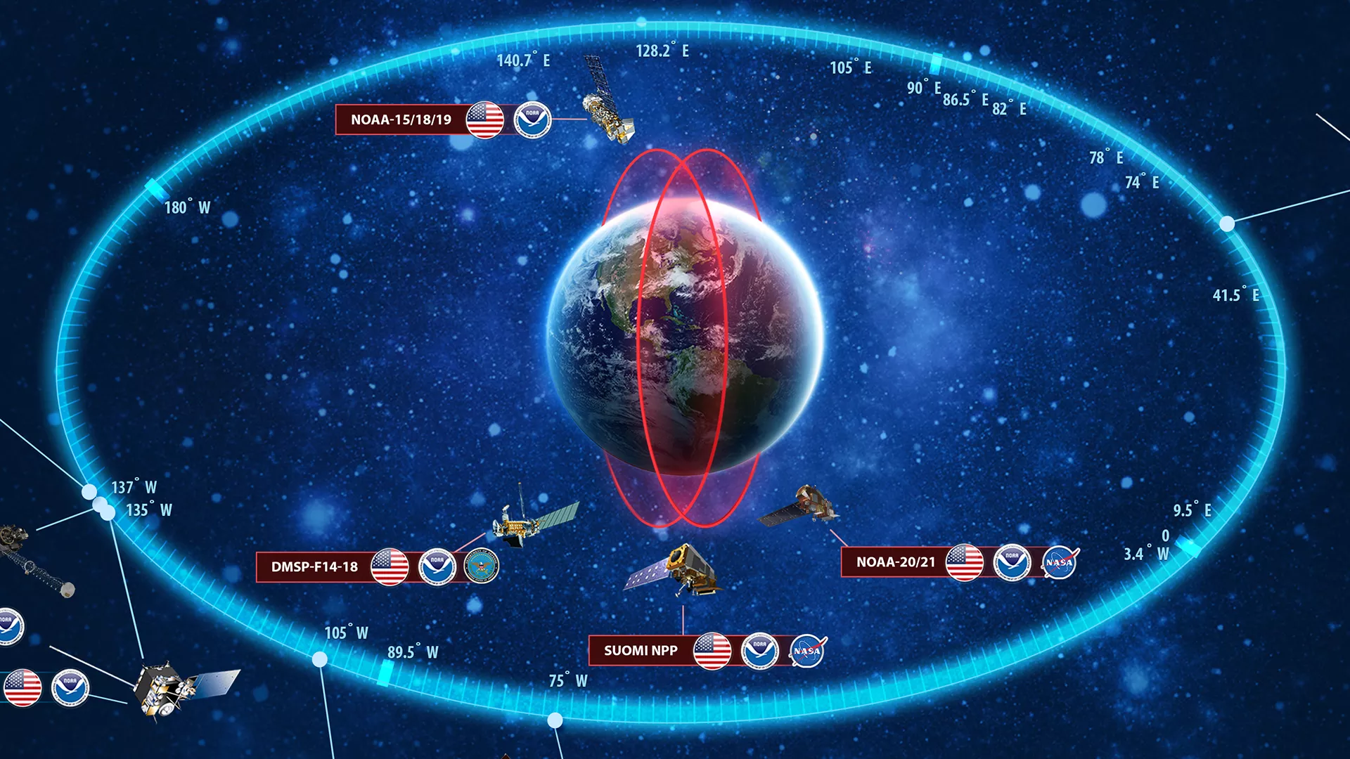
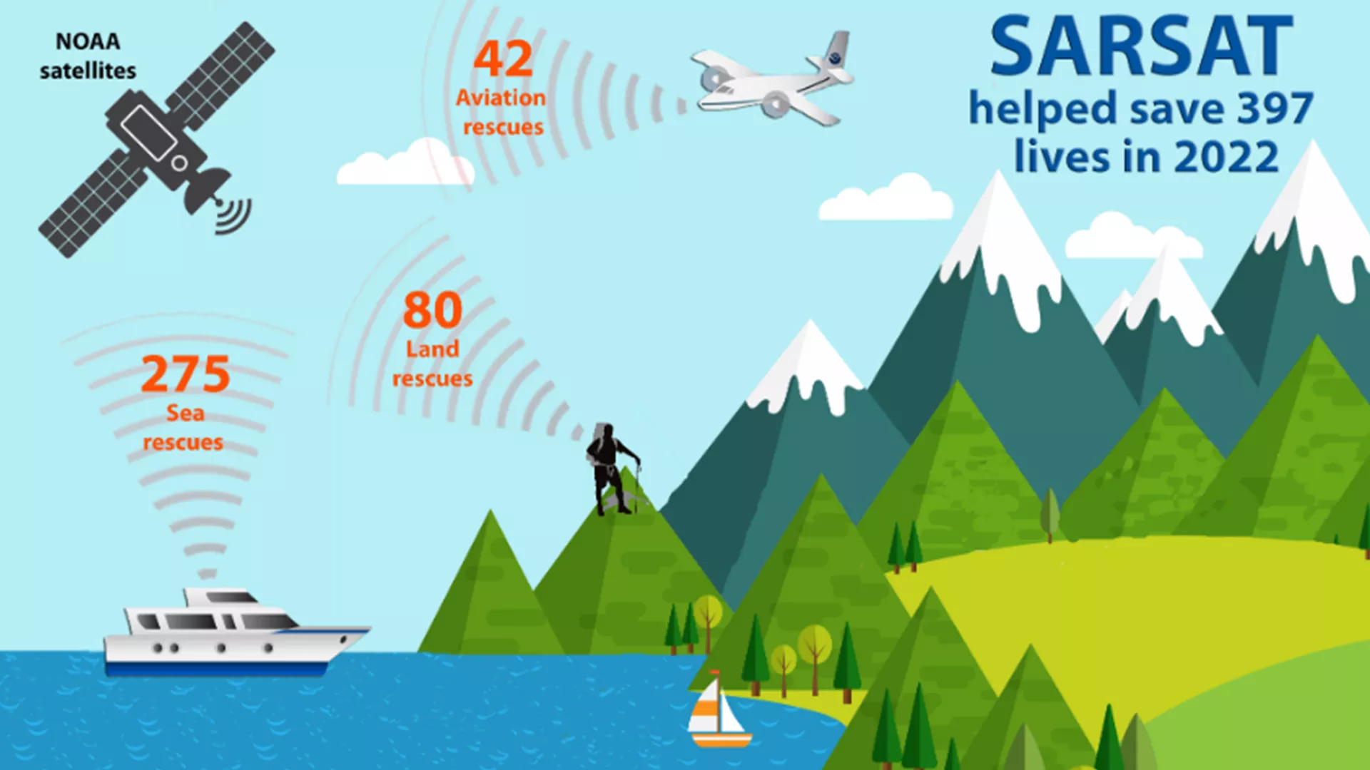
The Direct Services Branch (DSB) is responsible for keeping NOAA's broadcast services running smoothly, and is the main way people can interact with NOAA's satellite transmissions. DSB leads the Search and Rescue Satellite Aided Tracking (SARSAT) system, as well as GOES and Argos Data Collection Systems (DCS). It also manages satellite rebroadcast services like GEONETCast Americas (GNC-A), GOES Rebroadcast (GRB), and High Rate Information Transmission/Emergency Managers Weather Information Network (HRIT/EMWIN).

DSB works with other government and international agencies to plan and sustain these services long-term. Additionally, DSB helps people understand and use these satellite services to protect lives and property through outreach, education, customer support, information access, and satellite broadcast services.

A drawing of the ARGOS satellite system connecting to various beacons attached to animals around the world.
Argos DCS is an environmental data collection relay system that adds the benefits of providing global coverage and platform location. The system consists of in-situ data collection platforms equipped with sensors and transmitters and the Argos instrument aboard polar-orbiting satellites.
More about Argos
Image of both hemispheres of the earth.
The National Weather Service provides Emergency Weather Information for the GOES HRIT/EMWIN broadcast. With an HRIT receiver, users can be forewarned of hazardous conditions.
More about HRIT/EMWIN
Image of the North and South America, Western Africa.
GEONETCast is a near real time, global network of satellite-based data dissemination systems designed to distribute space-based, air-borne and in situ data, metadata and products to diverse communities.
More about GNC-A
A google map image of the world.
The GOES DCS is a data relay system used to transmit observations from surface based environmental platforms through NOAA's geostationary satellites, for delivery back to the platform owner.
More about GOES DCS
Image of a satellite dishes on top of a building.
The GOES-R series GOES Rebroadcast (GRB) provides the primary relay of full resolution, calibrated, near-real- time direct broadcast Level 1b data from each instrument and Level 2 data from the Geostationary Lightning Mapper (GLM).
More about GRB
Image of the satellite observing systems NOAA operates circling the earth.
The Satellite Information System (NOAASIS) web site is a central location for finding information about NOAA environmental satellites (GOES and POES). Information is provided by various contributors within the National Environmental Satellite, Data, and Information Service (NESDIS) and the external satellite community.
More about NOAASIS
Image of the 2022 SARSAT infographic.
As an integral part of worldwide search and rescue, NOAA operates the Search And Rescue Satellite Aided Tracking (SARSAT) System to detect and locate mariners, aviators, and recreational enthusiasts in distress almost anywhere in the world at any time and in almost any condition.
More about SARSAT