
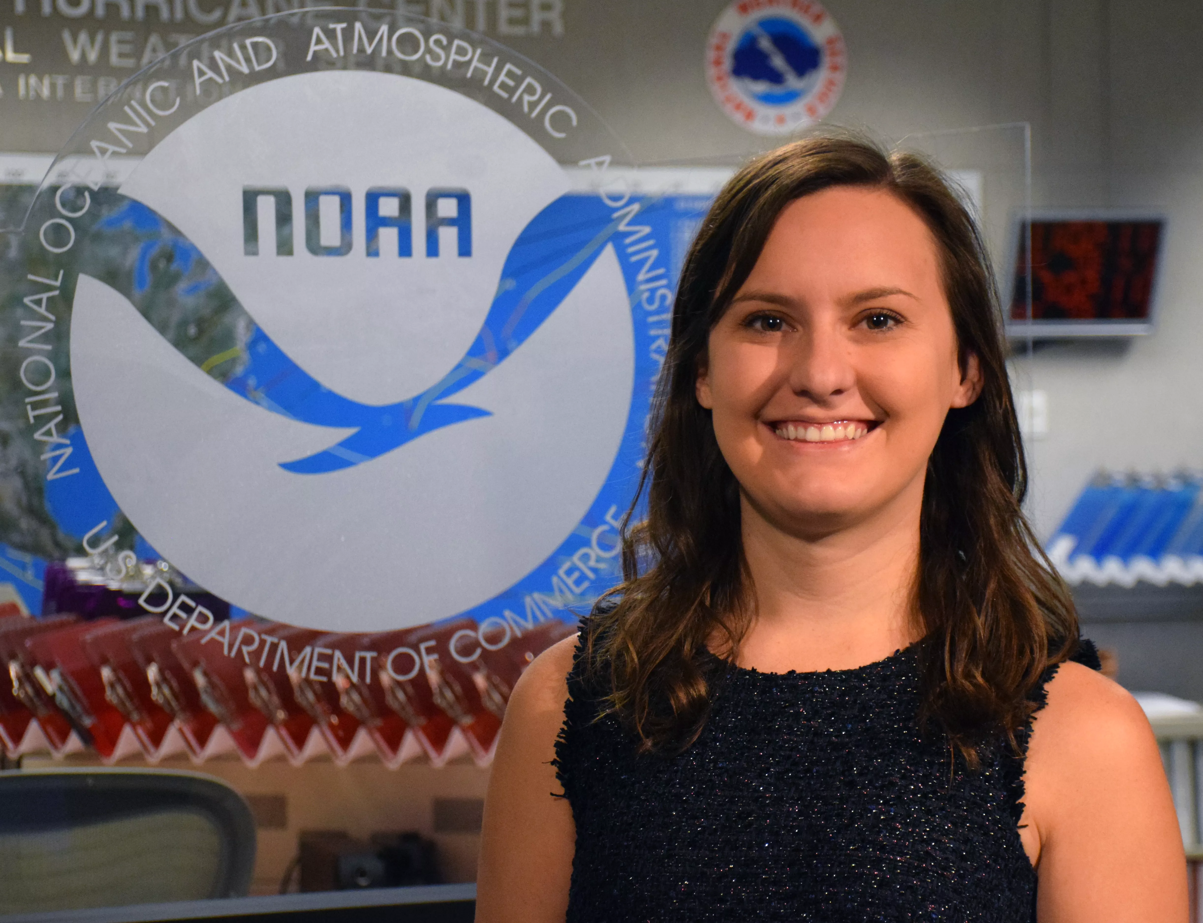
Dr. Stephanie Stevenson is a meteorologist at the NOAA/National Weather Service National Hurricane Center (NHC) in Miami. In March of 2023, she was awarded the David S. Johnson Award for her research showing how NOAA satellites can help forecasters better monitor and predict intensity changes in hurricanes. Through her ground-breaking research and efforts, new applications are being used as guidance for NHC forecasts as well as in media and decision-support briefings.
With 2023’s Atlantic Hurricane Season officially underway, we recently interviewed Dr. Stevenson to learn more about her research and what it means for the future of hurricane tracking and forecasting.
What inspired you to do research on how satellites can assist with intensity changes in hurricanes?
A NESDIS study published in 2012 showed promise for integrating lightning predictors for the short-term prediction of tropical cyclone intensity change. I started graduate school the same year and was motivated to pursue the topic since tropical cyclone intensity change is a key focus in the research community.
That study from 2012 happened before NOAA launched its latest GOES-R Series of satellites, which now includes the Geostationary Lightning Mapper (GLM) instrument. What did GLM data help you learn about the connection between hurricanes and their lightning?
When evaluating the satellite data with hurricane aircraft reconnaissance data, lightning inside the radius of a storm’s maximum wind speeds was found to be beneficial for storm intensification. Additionally, the lightning’s evolution over time with respect to environmental factors, such as vertical wind shear, can give insight into how the storm’s structure—and its intensity—are changing.
In the five years since GOES-16 became operational, the NHC’s tropical cyclone discussions mentioning lightning have more than doubled. Part of this is due to increased availability of lightning data over the oceans through GLM. We have also learned more effective ways to use the lightning data and we will continue to work towards quantitative applications that can help guide intensity forecasts.
What was different about your research from past studies on lightning and hurricane intensification?
This study moved beyond using solely lightning density and incorporated variability in tropical cyclone structure, which resulted in finding a more consistent relationship with intensity change. With help from NOAA NESDIS scientist Chris Slocum, we are experimentally generating probabilistic guidance for tropical cyclone rapid intensification that uses GLM lightning as one of its inputs—it's been performing well and we hope to transition the technique to operations in the future.
Were there any unexpected findings that you uncovered while doing your research on the link between lightning and hurricane intensity?
There’s a tendency to seek a simple answer while doing research—if I do or don’t see lightning in a hurricane, it always means this will happen. My study uncovered that it’s much more complicated than that. Lightning in a storm can lead to a multitude of outcomes, ranging anywhere from better organization and intensification to poorer organization and weakening. Meteorologists have to consider other aspects like the environment and storm structure in unison with the lightning.
You mentioned using hurricane aircraft reconnaissance data in your research. Did your studies lead you to join any NOAA Hurricane Hunter missions?
Yes! I flew on a NOAA Hurricane Hunter mission in Hurricane Michael in 2018 – it wasn’t as turbulent as I expected, but every storm is different. Unfortunately, there wasn't much lightning in the storm during my flight, but I was able to drop some instruments to measure the ocean conditions ahead of the storm and monitor the tail-Doppler radar (TDR) data collection process. The interpretation of lightning patterns within a storm can be enhanced with the detailed tropical cyclone wind structure that TDR detects.
Do you have any future GLM and hurricane research projects planned?
There are ongoing efforts with scientists from the Cooperative Institute for Research in the Atmosphere (CIRA) on a similar GLM and tropical cyclone intensity change prediction application with a different approach. We are focusing on the link between GLM and tropical cyclone structure and the subsequent impact on intensity change using machine learning.
---
More about our expert
Dr. Stevenson started her career as the GOES Tropical Applications Developer at the NHC through CIRA, and later transitioned to NOAA in the Technology and Science Branch of the NHC.
She grew up in metropolitan Houston and received her B.S. in Meteorology from Texas A&M University and her Ph.D. in Atmospheric Science from the State University of New York at Albany.
Her Ph.D. dissertation was titled: Influence of Lightning-Producing Convection on Tropical Cyclone Intensity Change.